UN/LOCODE hub · France
FRSIZ
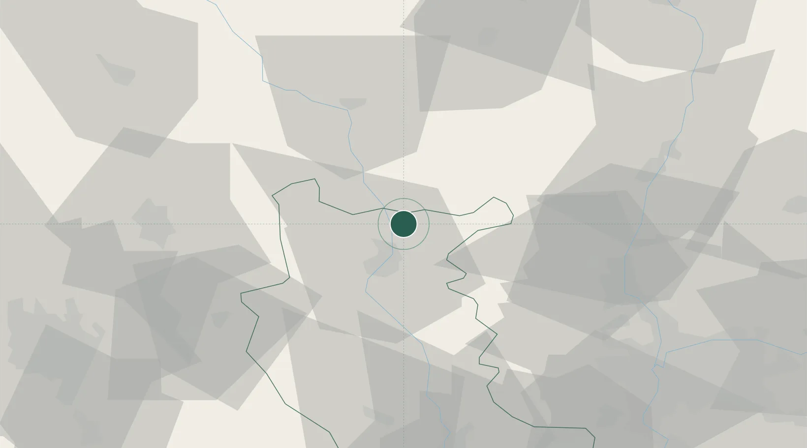
Saint-Nizier-sous-Charlieu
46.1500°, 4.1333°
1,632
Population
2
Transport functions
Transport Functions
Rail
Road
Hub Profile
Place type
Populated place
Region
Rhône-Alpes
Population
1,632
Time zone
Europe/Paris
Elevation
265 m
Location
Nearby Logistics Neighbours
Cities
- 1Iguerande7 km
- 2Mably9 km
- 3Perreux13 km
- 4Sevelinges14 km
- 5Ambierle19 km
Ports
- 1Sete308 km
- 2Fos310 km
- 3Port Saint Louis Du Rhone312 km
- 4Port-de-Bouc313 km
- 5Marseille330 km
Airports
- 1Roanne-Renaison Airport15 km
- 2Saint-Yan Airport31 km
- 3Mâcon-Charnay Airfield54 km
- 4Vichy-Charmeil Airport56 km
- 5Saint-Étienne-Bouthéon Airport69 km
Trade Zones
- 1ZFU Rillieux-la-Pape67 km
- 2ZFU Lyon 9e67 km
- 3ZFU Vaulx-en-Velin74 km
- 4ZFU Vénissieux75 km
- 5ZFU Saint-Etienne82 km
DatabookThe Record of Consolidated Knowledge
France beyond logistics?