Transport Functions
Multimodal
Hub Profile
Place type
Populated place
Region
Rhône-Alpes
Population
595
Time zone
Europe/Paris
Elevation
560 m
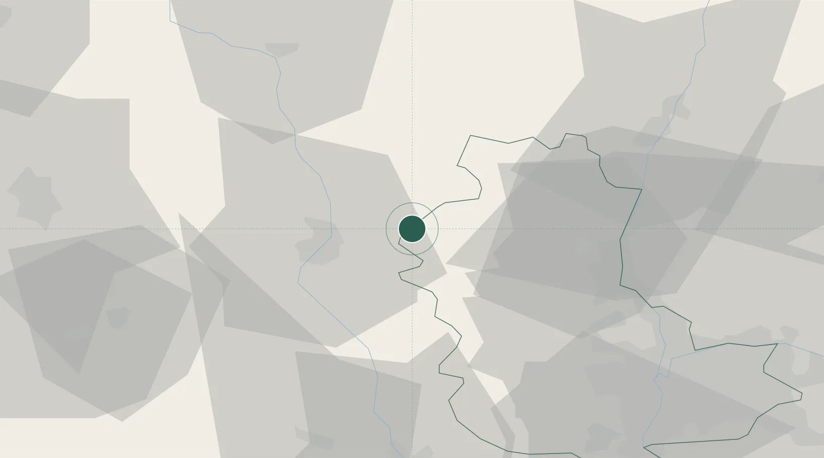
Location
Nearby Logistics Neighbours
Cities
- 1Saint-Victor-sur-Rhins9 km
- 2Saint-Jean-la-Bussière10 km
- 3Saint-Nizier-sous-Charlieu14 km
- 4Perreux14 km
- 5Mably17 km
Ports
- 1Fos300 km
- 2Sete302 km
- 3Port Saint Louis Du Rhone303 km
- 4Port-de-Bouc303 km
- 5Marseille319 km
Airports
- 1Roanne-Renaison Airport22 km
- 2Saint-Yan Airport42 km
- 3Mâcon-Charnay Airfield46 km
- 4Saint-Étienne-Bouthéon Airport60 km
- 5Lyon Bron Airport65 km
Trade Zones
- 1ZFU Rillieux-la-Pape53 km
- 2ZFU Lyon 9e53 km
- 3ZFU Vaulx-en-Velin60 km
- 4ZFU Vénissieux61 km
- 5ZFU Saint-Etienne73 km
DatabookThe Record of Consolidated Knowledge
France beyond logistics?