Transport Functions
Rail
Road
Hub Profile
Place type
Populated place
Region
Rhône-Alpes
Population
7,830
Time zone
Europe/Paris
Elevation
295 m
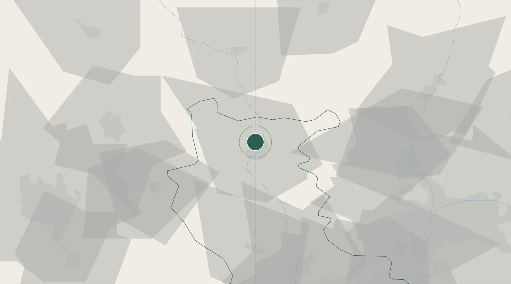
Location
Nearby Logistics Neighbours
Cities
- 1Perreux7 km
- 2Saint-Nizier-sous-Charlieu9 km
- 3Renaison11 km
- 4Saint-André-d'Apchon12 km
- 5Saint-Haon-le-Vieux12 km
Ports
- 1Sete300 km
- 2Fos303 km
- 3Port Saint Louis Du Rhone306 km
- 4Port-de-Bouc307 km
- 5Marseille324 km
Airports
- 1Roanne-Renaison Airport6 km
- 2Saint-Yan Airport37 km
- 3Vichy-Charmeil Airport52 km
- 4Mâcon-Charnay Airfield61 km
- 5Saint-Étienne-Bouthéon Airport63 km
Trade Zones
- 1ZFU Lyon 9e67 km
- 2ZFU Rillieux-la-Pape68 km
- 3ZFU Vaulx-en-Velin74 km
- 4ZFU Vénissieux74 km
- 5ZFU Saint-Etienne75 km
DatabookThe Record of Consolidated Knowledge
France beyond logistics?