Transport Functions
Road
Multimodal
Hub Profile
Place type
Populated place
Region
Bourgogne
Population
923
Time zone
Europe/Paris
Elevation
265 m
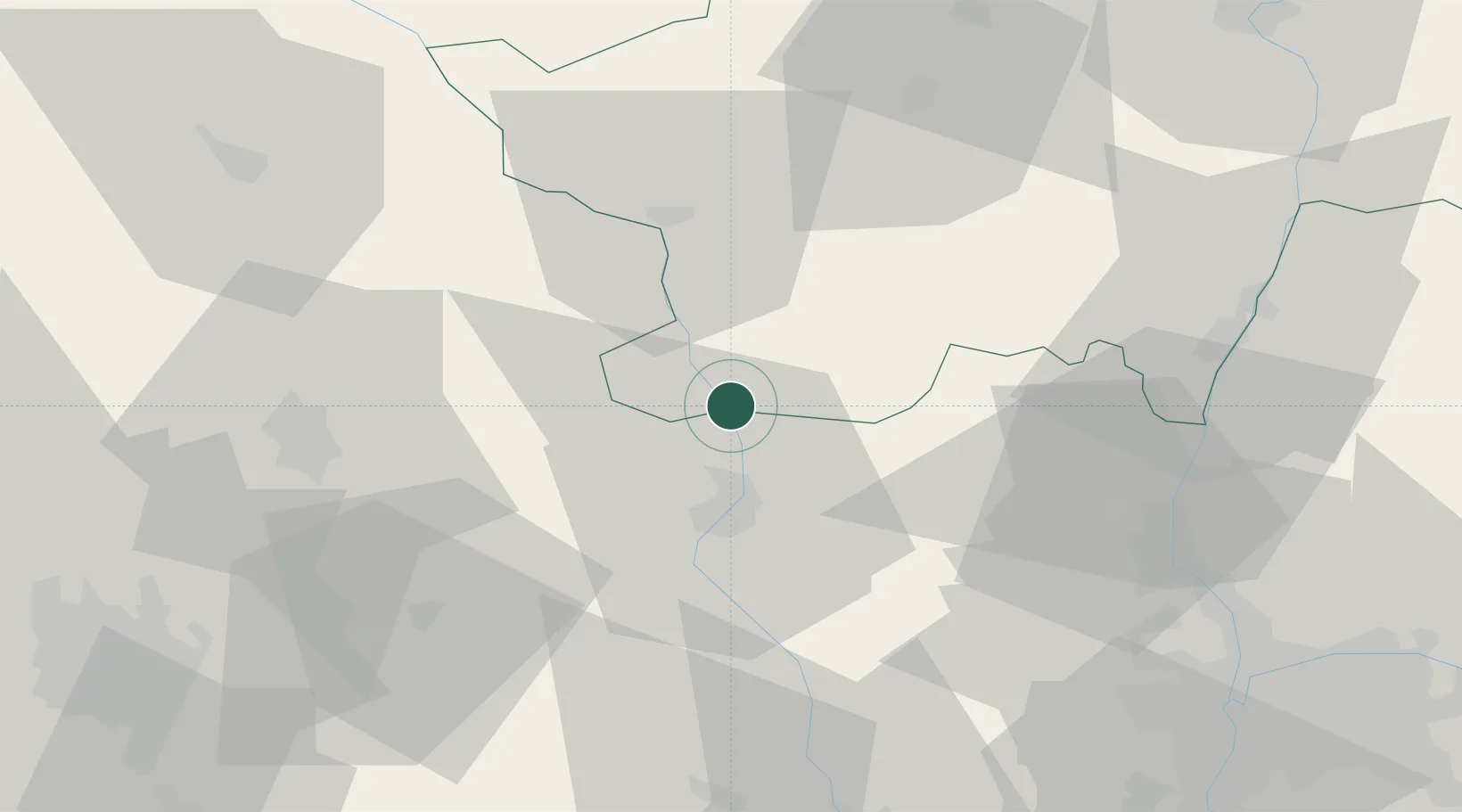
Location
Nearby Logistics Neighbours
Cities
- 1Saint-Nizier-sous-Charlieu7 km
- 2Mably13 km
- 3Ambierle18 km
- 4Perreux19 km
- 5Saint-Haon-le-Vieux20 km
Ports
- 1Sete313 km
- 2Fos316 km
- 3Port Saint Louis Du Rhone319 km
- 4Port-de-Bouc319 km
- 5Marseille336 km
Airports
- 1Roanne-Renaison Airport18 km
- 2Saint-Yan Airport24 km
- 3Vichy-Charmeil Airport52 km
- 4Mâcon-Charnay Airfield56 km
- 5Saint-Étienne-Bouthéon Airport75 km
Trade Zones
- 1ZFU Rillieux-la-Pape73 km
- 2ZFU Lyon 9e73 km
- 3ZFU Vaulx-en-Velin80 km
- 4ZFU Vénissieux82 km
- 5ZFU Saint-Etienne88 km
DatabookThe Record of Consolidated Knowledge
France beyond logistics?