Transport Functions
Road
Multimodal
Hub Profile
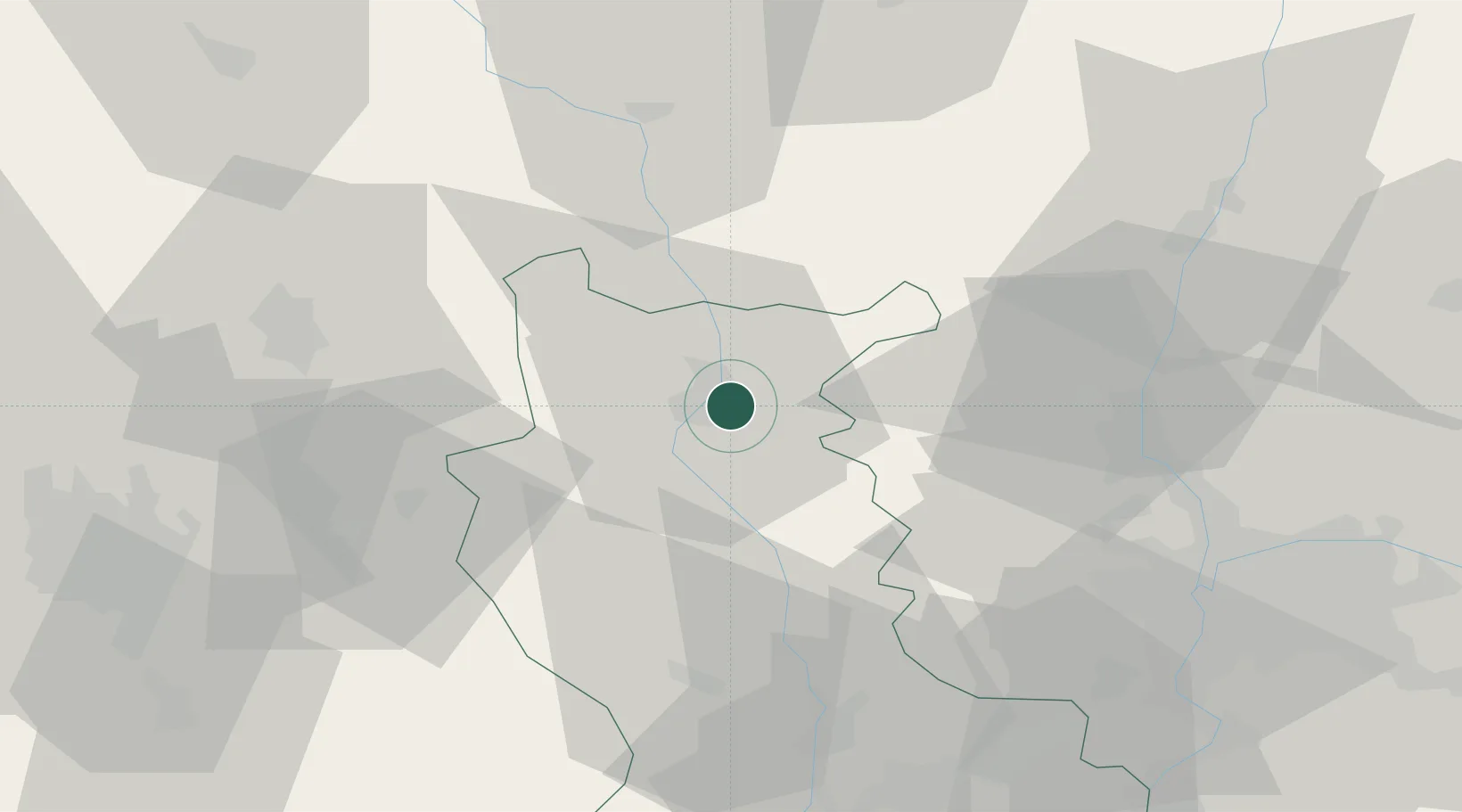
Place type
Populated place
Region
Rhône-Alpes
Population
2,444
Time zone
Europe/Paris
Elevation
349 m
Location
Nearby Logistics Neighbours
Cities
- 1Mably7 km
- 2Saint-Nizier-sous-Charlieu13 km
- 3Saint-Victor-sur-Rhins13 km
- 4Sevelinges14 km
- 5Villemontais14 km
Ports
- 1Sete295 km
- 2Fos297 km
- 3Port Saint Louis Du Rhone300 km
- 4Port-de-Bouc301 km
- 5Marseille318 km
Airports
- 1Roanne-Renaison Airport9 km
- 2Saint-Yan Airport43 km
- 3Saint-Étienne-Bouthéon Airport57 km
- 4Vichy-Charmeil Airport57 km
- 5Mâcon-Charnay Airfield60 km
Trade Zones
- 1ZFU Lyon 9e61 km
- 2ZFU Rillieux-la-Pape62 km
- 3ZFU Vénissieux68 km
- 4ZFU Vaulx-en-Velin68 km
- 5ZFU Saint-Etienne69 km
DatabookThe Record of Consolidated Knowledge
France beyond logistics?