Transport Functions
Rail
Road
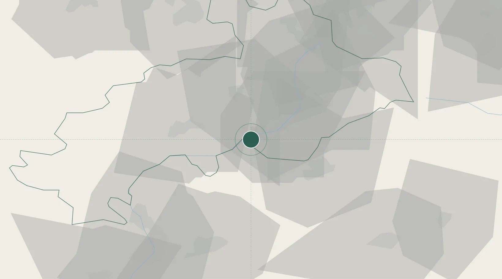
Hub Profile
Place type
Populated place
Region
Provence-Alpes-Côte d'Azur
Population
913
Time zone
Europe/Paris
Elevation
803 m
Location
Nearby Logistics Neighbours
Cities
- 1Embrun9 km
- 2Saint-Crépin24 km
- 3Gap25 km
- 4Saint-Paul28 km
- 5L'Argentière-la-Bessée30 km
Ports
- 1Nice116 km
- 2Villefranche118 km
- 3Cannes120 km
- 4Monaco120 km
- 5Antibes121 km
Airports
- 1Cuneo International Airport97 km
- 2Torino-Aeritalia Airport113 km
- 3Nice-Côte d'Azur Airport117 km
- 4Cannes Mandelieu Airport118 km
- 5Valence-Chabeuil Airport121 km
Trade Zones
- 1ZFU Grenoble92 km
- 2ZFU LAriane113 km
- 3ZFU Valence130 km
- 4Aosta Valley137 km
- 5ZFU Avignon143 km
DatabookThe Record of Consolidated Knowledge
France beyond logistics?