Transport Functions
Rail
Road
Hub Profile
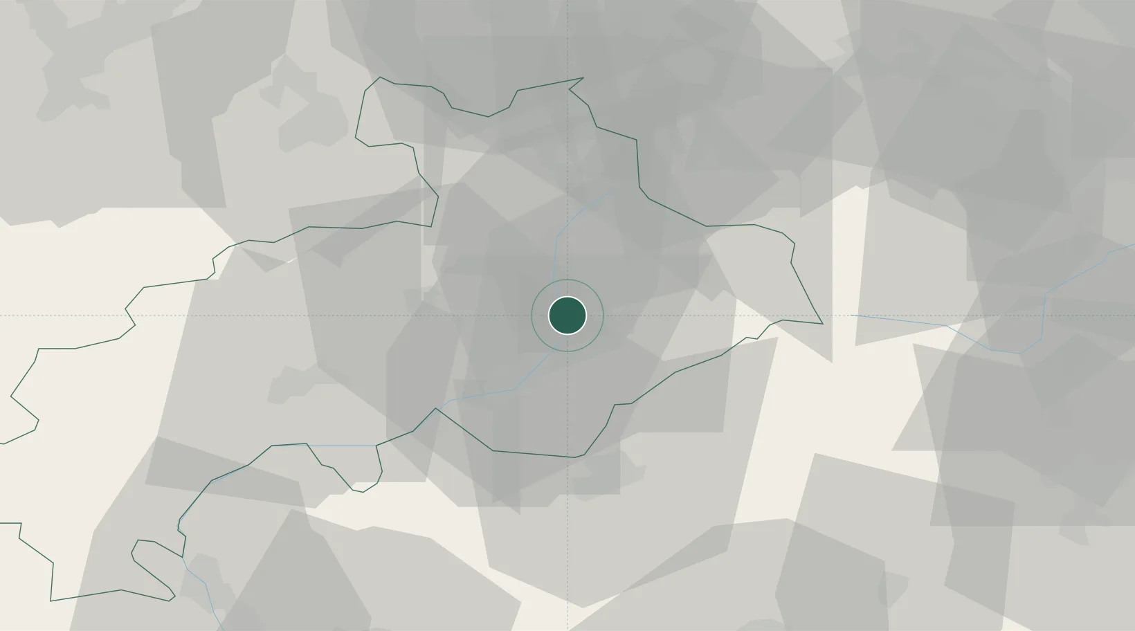
Place type
Populated place
Region
Provence-Alpes-Côte d'Azur
Population
576
Time zone
Europe/Paris
Elevation
950 m
Location
Nearby Logistics Neighbours
Cities
- 1L'Argentière-la-Bessée10 km
- 2Embrun17 km
- 3Vallouise19 km
- 4Saint-Paul24 km
- 5Savines-le-Lac24 km
Ports
- 1Nice124 km
- 2Villefranche125 km
- 3Monaco126 km
- 4Antibes131 km
- 5Cannes132 km
Airports
- 1Cuneo International Airport83 km
- 2Torino-Aeritalia Airport90 km
- 3Turin Airport100 km
- 4Chambéry Aix les Bains airport119 km
- 5Grenoble Alpes Isère Airport124 km
Trade Zones
- 1ZFU Grenoble90 km
- 2Aosta Valley115 km
- 3ZFU LAriane119 km
- 4ZFU Valence141 km
- 5ZFU Avignon166 km
DatabookThe Record of Consolidated Knowledge
France beyond logistics?