Transport Functions
Rail
Airport
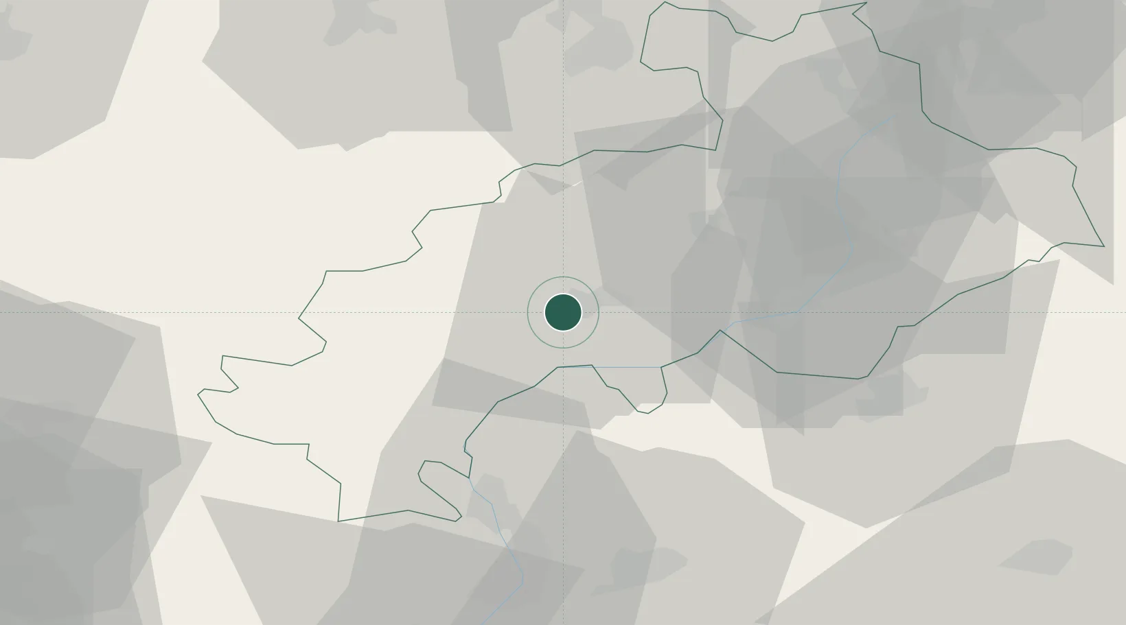
Hub Profile
Place type
Provincial seat
Region
Provence-Alpes-Côte d'Azur
Population
42,715
Time zone
Europe/Paris
Elevation
741 m
Location
Nearby Logistics Neighbours
Cities
- 1La Roche-des-Arnauds11 km
- 2Le Saix22 km
- 3Savines-le-Lac25 km
- 4Embrun33 km
- 5La Beaume37 km
Ports
- 1Cannes135 km
- 2Nice136 km
- 3Villefranche138 km
- 4Antibes138 km
- 5Saint-Raphael139 km
Airports
Trade Zones
- 1ZFU Grenoble76 km
- 2ZFU Valence105 km
- 3ZFU Avignon123 km
- 4ZFU LAriane132 km
- 5Aosta Valley141 km
DatabookThe Record of Consolidated Knowledge
France beyond logistics?