Transport Functions
Port
Multimodal
Hub Profile
Place type
Populated place
Region
Rhône-Alpes
Time zone
Europe/Paris
Elevation
430 m
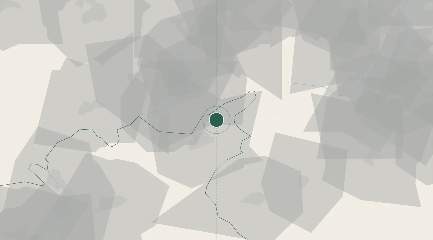
Location
Nearby Logistics Neighbours
Cities
- 1Embrun21 km
- 2Saint-Crépin24 km
- 3Savines-le-Lac28 km
- 4L'Argentière-la-Bessée34 km
- 5Vinadio41 km
Ports
- 1Nice100 km
- 2Villefranche102 km
- 3Monaco102 km
- 4Antibes108 km
- 5Cannes110 km
Airports
- 1Cuneo International Airport69 km
- 2Torino-Aeritalia Airport92 km
- 3Nice-Côte d'Azur Airport102 km
- 4Monaco Heliport103 km
- 5Turin Airport104 km
Trade Zones
- 1ZFU LAriane96 km
- 2ZFU Grenoble112 km
- 3Aosta Valley135 km
- 4ZFU Valence157 km
- 5ZFU Avignon168 km
DatabookThe Record of Consolidated Knowledge
France beyond logistics?