Transport Functions
Rail
Road
Hub Profile
Place type
Populated place
Region
Provence-Alpes-Côte d'Azur
Time zone
Europe/Paris
Elevation
978 m
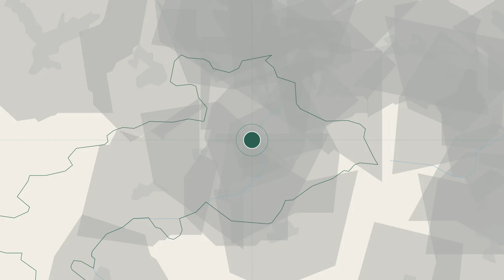
Location
Nearby Logistics Neighbours
Cities
- 1Vallouise9 km
- 2Saint-Crépin10 km
- 3Embrun24 km
- 4Savines-le-Lac30 km
- 5Saint-Paul34 km
Ports
- 1Nice134 km
- 2Villefranche135 km
- 3Monaco136 km
- 4Antibes141 km
- 5Cannes142 km
Airports
- 1Cuneo International Airport89 km
- 2Torino-Aeritalia Airport89 km
- 3Turin Airport98 km
- 4Chambéry Aix les Bains airport109 km
- 5Grenoble Alpes Isère Airport116 km
Trade Zones
- 1ZFU Grenoble82 km
- 2Aosta Valley107 km
- 3ZFU LAriane129 km
- 4ZFU Valence135 km
- 5Geneva Freeport, La Praille, Geneva160 km
DatabookThe Record of Consolidated Knowledge
France beyond logistics?