Transport Functions
Multimodal
Hub Profile
Place type
Populated place
Region
Provence-Alpes-Côte d'Azur
Population
694
Time zone
Europe/Paris
Elevation
1,161 m
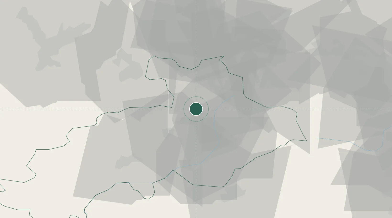
Location
Nearby Logistics Neighbours
Cities
- 1L'Argentière-la-Bessée9 km
- 2Saint-Crépin19 km
- 3Embrun32 km
- 4Savines-le-Lac36 km
- 5Fourneaux37 km
Ports
- 1Nice143 km
- 2Villefranche144 km
- 3Monaco145 km
- 4Antibes150 km
- 5Cannes151 km
Airports
- 1Torino-Aeritalia Airport92 km
- 2Cuneo International Airport96 km
- 3Chambéry Aix les Bains airport100 km
- 4Turin Airport100 km
- 5Grenoble Alpes Isère Airport107 km
Trade Zones
- 1ZFU Grenoble73 km
- 2Aosta Valley101 km
- 3ZFU Valence129 km
- 4ZFU LAriane138 km
- 5Geneva Freeport, La Praille, Geneva151 km
DatabookThe Record of Consolidated Knowledge
France beyond logistics?