Transport Functions
Port
Road
Hub Profile
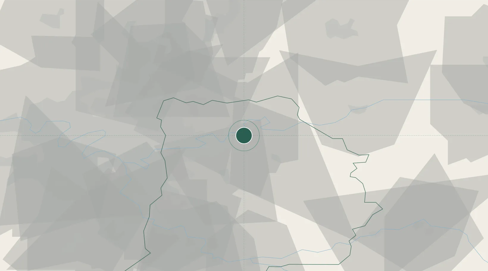
Place type
Populated place
Region
Île-de-France
Population
1,117
Time zone
Europe/Paris
Elevation
99 m
Location
Nearby Logistics Neighbours
Cities
- 1Trilport2 km
- 2Meaux5 km
- 3Mareuil-lès-Meaux6 km
- 4La Chapelle-sur-Crécy7 km
- 5Maisoncelles-en-Brie9 km
Ports
- 1Port Of Rouen147 km
- 2Saint-Valery-Sur-Somme168 km
- 3Le Treport169 km
- 4Dieppe174 km
- 5Honfleur205 km
Airports
Trade Zones
DatabookThe Record of Consolidated Knowledge
France beyond logistics?