UN/LOCODE hub · France
FRS2M

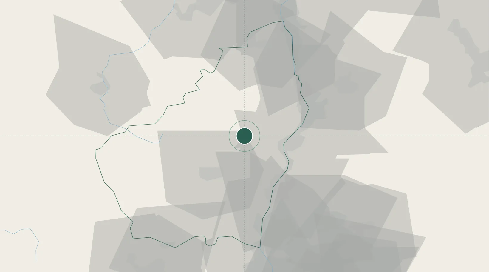
Saint-Sauveur-de-Montagut

44.8167°, 4.5833°
1,332
Population
2
Transport functions

Transport Functions

Road
Multimodal
UN/LOCODE

Hub Profile

Place type
Populated place
GeoNames
Region
Rhône-Alpes
GeoNames
Population
1,332
GeoNames
Time zone
Europe/Paris
GeoNames
Elevation
221 m
GeoNames

Location

Location of FRS2M
Natural Earth 10m (public domain) · Rhône-Alpes · FRS2M · 44.82, 4.58GoogleOSMYandex

Nearby Logistics Neighbours

Cities
  1. 1Privas9 km
  2. 2Le Pouzin15 km
  3. 3Saint-Georges-les-Bains19 km
  4. 4Toulaud21 km
  5. 5Valence23 km
Nearest neighbours — logibook spatial index (haversine) over the source coordinates
Ports
  1. 1Fos158 km
  2. 2Port Saint Louis Du Rhone161 km
  3. 3Port-de-Bouc161 km
  4. 4Sete173 km
  5. 5Marseille178 km
Nearest neighbours — logibook spatial index (haversine) over the source coordinates
Airports
  1. 1Valence-Chabeuil Airport33 km
  2. 2Aubenas-South Ardèche Airport35 km
  3. 3Le Puy-Loudes Airfield71 km
  4. 4Orange-Caritat (BA 115) Air Base79 km
  5. 5Saint-Étienne-Bouthéon Airport84 km
Nearest neighbours — logibook spatial index (haversine) over the source coordinates
Trade Zones
  1. 1ZFU Valence24 km
  2. 2ZFU Saint-Etienne71 km
  3. 3ZFU Grenoble95 km
  4. 4ZFU Avignon98 km
  5. 5ZFU Vénissieux100 km
Nearest neighbours — logibook spatial index (haversine) over the source coordinates
DatabookThe Record of Consolidated Knowledge
France beyond logistics?
Browse databook

All Sources

LocationsUN/LOCODE
UN/LOCODE — free
LocationsGeoNames
CC BY 4.0
Portsthe NGA World Port Index
Public domain (US gov)
AirportsOurAirports
Public domain
Trade Zonesthe World Bank SEZ database
CC BY 4.0
Trade ZonesOpen Zone Map
CC BY
← France locations