Transport Functions
Rail
Road
Hub Profile
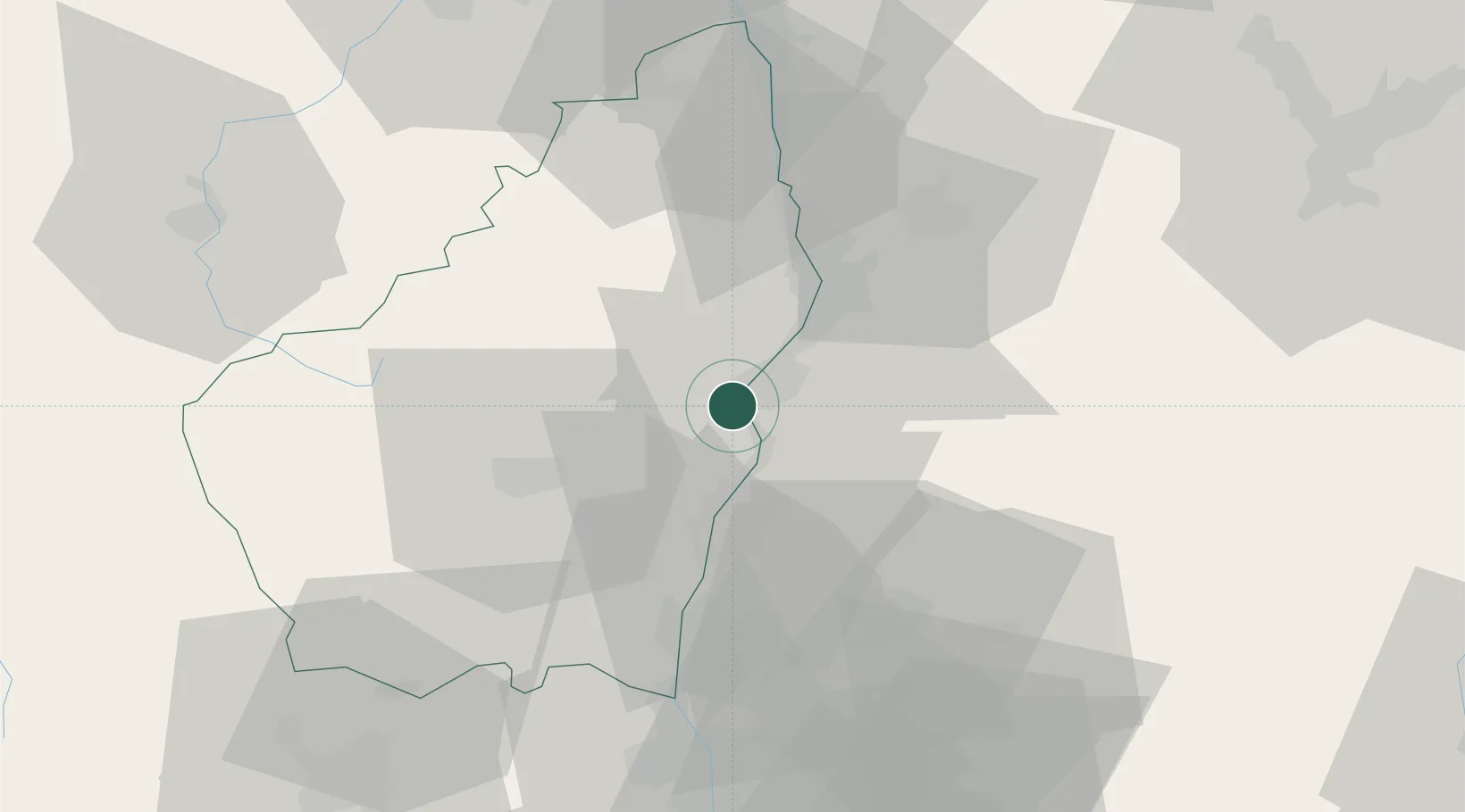
Place type
Populated place
Region
Rhône-Alpes
Population
2,849
Time zone
Europe/Paris
Elevation
94 m
Location
Nearby Logistics Neighbours
Cities
- 1Privas12 km
- 2Grane13 km
- 3Saint-Georges-les-Bains14 km
- 4Saint-Sauveur-de-Montagut15 km
- 5Portes-lès-Valence17 km
Ports
- 1Fos149 km
- 2Port-de-Bouc151 km
- 3Port Saint Louis Du Rhone152 km
- 4Marseille167 km
- 5Sete172 km
Airports
Trade Zones
- 1ZFU Valence21 km
- 2ZFU Saint-Etienne83 km
- 3ZFU Grenoble88 km
- 4ZFU Avignon89 km
- 5ZFU Vénissieux106 km
DatabookThe Record of Consolidated Knowledge
France beyond logistics?