Transport Functions
Multimodal
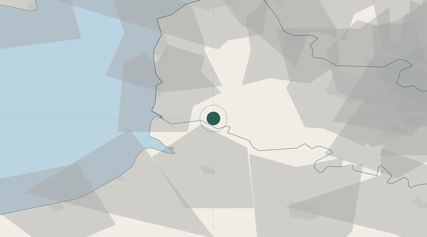
Hub Profile
Place type
Populated place
Region
Hauts-de-France
Population
123
Time zone
Europe/Paris
Elevation
27 m
Location
Nearby Logistics Neighbours
Cities
- 1Loison-sur-Créquoise8 km
- 2Marconnelle11 km
- 3Marconne13 km
- 4Conchil-le-Temple14 km
- 5Grigny14 km
Ports
- 1Saint-Valery-Sur-Somme27 km
- 2Boulogne-Sur-Mer45 km
- 3Le Treport49 km
- 4Calais67 km
- 5Gravelines73 km
Airports
Trade Zones
DatabookThe Record of Consolidated Knowledge
France beyond logistics?