UN/LOCODE hub · France
FRL62

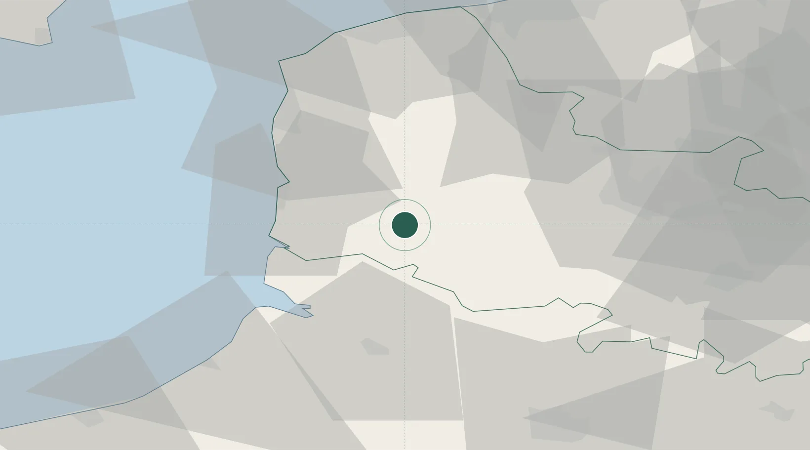
Loison-sur-Créquoise

50.4333°, 1.9167°
246
Population
1
Transport functions

Transport Functions

Multimodal
UN/LOCODE

Hub Profile

Place type
Populated place
GeoNames
Region
Hauts-de-France
GeoNames
Population
246
GeoNames
Time zone
Europe/Paris
GeoNames
Elevation
26 m
GeoNames

Location

Location of FRL62
Natural Earth 10m (public domain) · Hauts-de-France · FRL62 · 50.43, 1.92GoogleOSMYandex

Nearby Logistics Neighbours

Cities
  1. 1Saint-Rémy-au-Bois8 km
  2. 2Marconnelle10 km
  3. 3Grigny12 km
  4. 4Estréelles12 km
  5. 5Marconne12 km
Nearest neighbours — logibook spatial index (haversine) over the source coordinates
Ports
  1. 1Saint-Valery-Sur-Somme35 km
  2. 2Boulogne-Sur-Mer40 km
  3. 3Le Treport57 km
  4. 4Calais60 km
  5. 5Gravelines65 km
Nearest neighbours — logibook spatial index (haversine) over the source coordinates
Airports
  1. 1Le Touquet-Côte d'Opale Airport23 km
  2. 2Abbeville-Buigny Baie de Somme Airfield33 km
  3. 3Merville-Calonne Airport55 km
  4. 4Calais Marck Airport59 km
  5. 5Amiens Glisy Airfield71 km
Nearest neighbours — logibook spatial index (haversine) over the source coordinates
Trade Zones
  1. 1ZFU Calais58 km
  2. 2ZFU Amiens63 km
  3. 3ZFU Hénin-Beaumont, Montigny-en-Gohelle, Courrières, Rouvroy, Drocourt, Dourges69 km
  4. 4ZFU Saint Pol sur Mer73 km
  5. 5ZFU de Lille et de Loos81 km
Nearest neighbours — logibook spatial index (haversine) over the source coordinates
DatabookThe Record of Consolidated Knowledge
France beyond logistics?
Browse databook

All Sources

LocationsUN/LOCODE
UN/LOCODE — free
LocationsGeoNames
CC BY 4.0
Portsthe NGA World Port Index
Public domain (US gov)
AirportsOurAirports
Public domain
Trade Zonesthe World Bank SEZ database
CC BY 4.0
Trade ZonesOpen Zone Map
CC BY
← France locations