Transport Functions
Rail
Road
Hub Profile
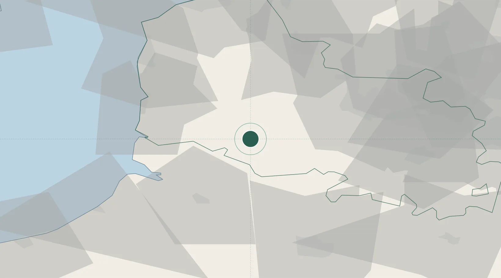
Place type
Populated place
Region
Hauts-de-France
Population
1,312
Time zone
Europe/Paris
Elevation
26 m
Location
Nearby Logistics Neighbours
Cities
- 1Grigny2 km
- 2Marconnelle2 km
- 3Loison-sur-Créquoise12 km
- 4Saint-Rémy-au-Bois13 km
- 5Frevent20 km
Ports
- 1Saint-Valery-Sur-Somme37 km
- 2Boulogne-Sur-Mer52 km
- 3Le Treport59 km
- 4Calais68 km
- 5Gravelines71 km
Airports
DatabookThe Record of Consolidated Knowledge
France beyond logistics?