Transport Functions
Multimodal
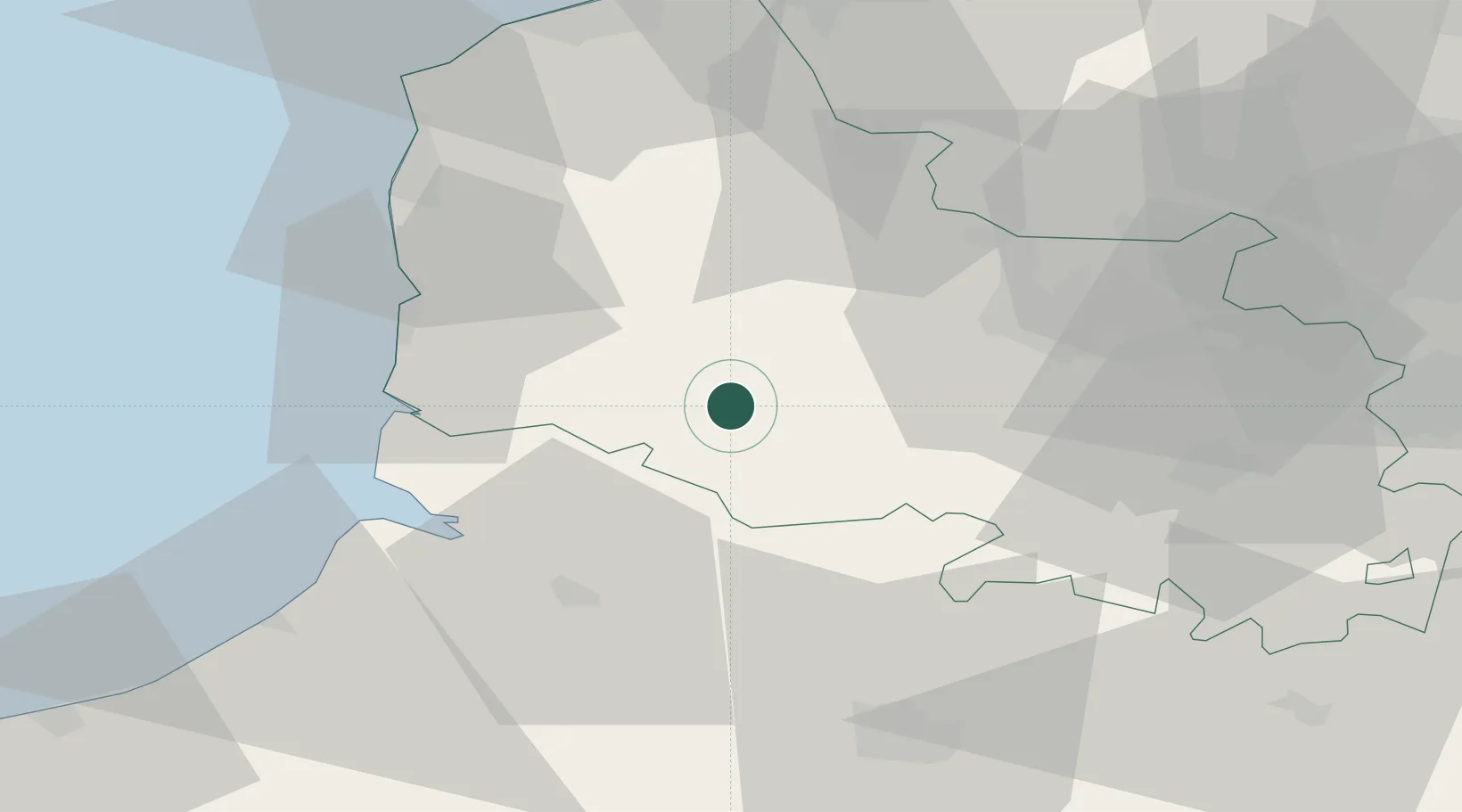
Hub Profile
Place type
Populated place
Region
Hauts-de-France
Time zone
Europe/Paris
Elevation
28 m
Location
Nearby Logistics Neighbours
Cities
- 1Marconne2 km
- 2Marconnelle4 km
- 3Loison-sur-Créquoise12 km
- 4Saint-Rémy-au-Bois14 km
- 5Saint-Pol-sur-Ternoise19 km
Ports
- 1Saint-Valery-Sur-Somme39 km
- 2Boulogne-Sur-Mer51 km
- 3Le Treport61 km
- 4Calais67 km
- 5Gravelines69 km
Airports
DatabookThe Record of Consolidated Knowledge
France beyond logistics?