Transport Functions
Multimodal
Hub Profile
Place type
Populated place
Region
Hauts-de-France
Population
805
Time zone
Europe/Paris
Elevation
5 m
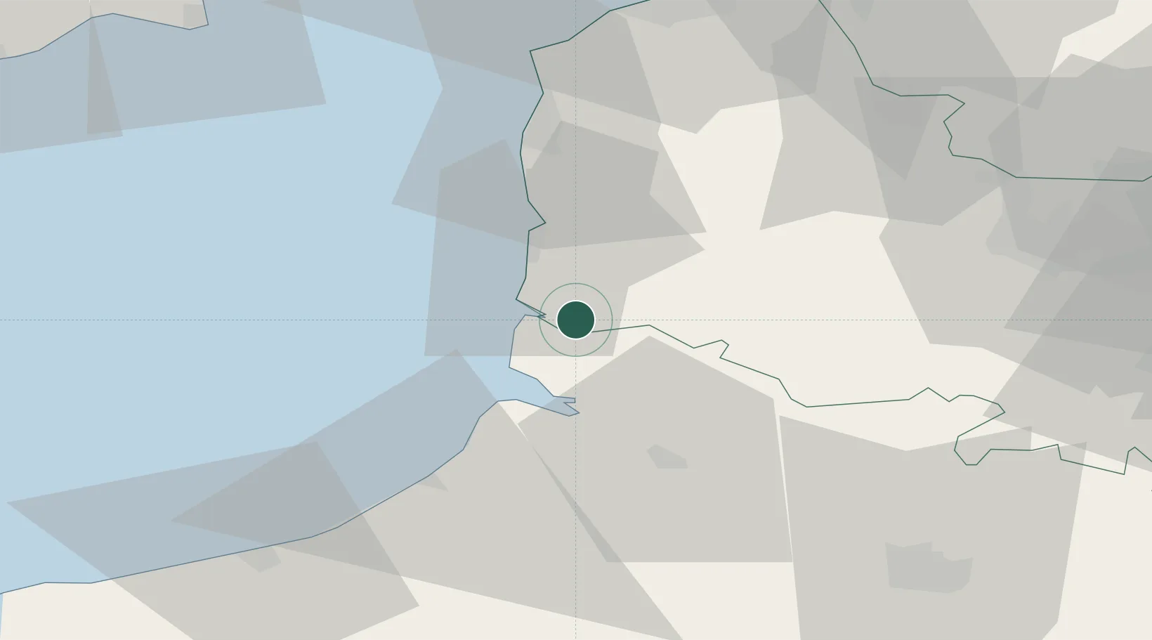
Location
Nearby Logistics Neighbours
Cities
- 1Rang-du-Fliers6 km
- 2Merlimont10 km
- 3Quend10 km
- 4Beutin13 km
- 5Saint-Rémy-au-Bois14 km
Ports
- 1Saint-Valery-Sur-Somme21 km
- 2Le Treport40 km
- 3Boulogne-Sur-Mer41 km
- 4Dieppe64 km
- 5Calais68 km
Airports
Trade Zones
DatabookThe Record of Consolidated Knowledge
France beyond logistics?