UN/LOCODE hub · France
FRRWS

Ferrals-les-Corbières
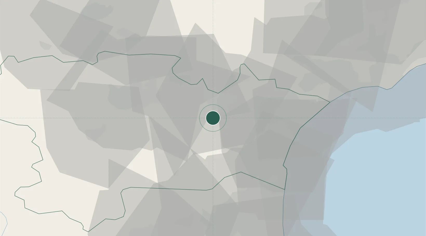
43.1500°, 2.7333°
1,071
Population
1
Transport functions

Transport Functions

Multimodal
UN/LOCODE

Hub Profile

Place type
Populated place
GeoNames
Region
Occitanie
GeoNames
Population
1,071
GeoNames
Time zone
Europe/Paris
GeoNames
Elevation
72 m
GeoNames

Location

Location of FRRWS
Natural Earth 10m (public domain) · Occitanie · FRRWS · 43.15, 2.73GoogleOSMYandex

Nearby Logistics Neighbours

Cities
  1. 1Fontcouverte3 km
  2. 2Fabrezan3 km
  3. 3Conilhac-Corbières4 km
  4. 4Luc-sur-Orbieu6 km
  5. 5Montbrun-des-Corbières7 km
Nearest neighbours — logibook spatial index (haversine) over the source coordinates
Ports
  1. 1Port-La-Nouvelle31 km
  2. 2Port-Vendres77 km
  3. 3Sete83 km
  4. 4Rosas105 km
  5. 5Palamos150 km
Nearest neighbours — logibook spatial index (haversine) over the source coordinates
Airports
  1. 1Carcassonne Salvaza Airport35 km
  2. 2Perpignan-Rivesaltes (Llabanère) Airport47 km
  3. 3Béziers Vias airport54 km
  4. 4Castres Mazamet Airport58 km
  5. 5Albi Le Sequestre airport99 km
Nearest neighbours — logibook spatial index (haversine) over the source coordinates
Trade Zones
  1. 1ZFU Béziers44 km
  2. 2ZFU Perpignan52 km
  3. 3ZFU Montpellier103 km
  4. 4ZFU Toulouse116 km
  5. 5ZFU Nîmes150 km
Nearest neighbours — logibook spatial index (haversine) over the source coordinates
DatabookThe Record of Consolidated Knowledge
France beyond logistics?
Browse databook

All Sources

LocationsUN/LOCODE
UN/LOCODE — free
LocationsGeoNames
CC BY 4.0
Portsthe NGA World Port Index
Public domain (US gov)
AirportsOurAirports
Public domain
Trade Zonesthe World Bank SEZ database
CC BY 4.0
Trade ZonesOpen Zone Map
CC BY
← France locations