UN/LOCODE hub · France
FRQEY

Saint-Antoine-du-Queyret

44.7667°, 0.0167°
2
Transport functions

Transport Functions

Port
Road
UN/LOCODE

Hub Profile

Place type
Populated place
GeoNames
Region
Nouvelle-Aquitaine
GeoNames
Time zone
Europe/Paris
GeoNames
Elevation
100 m
GeoNames

Location

Location of FRQEY
Natural Earth 10m (public domain) · Nouvelle-Aquitaine · FRQEY · 44.77, 0.02GoogleOSMYandex

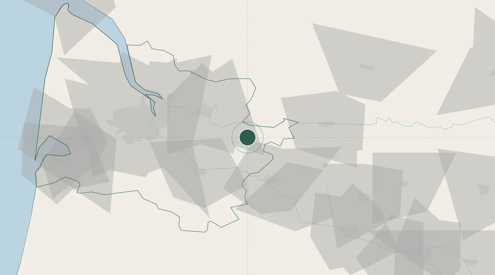
Nearby Logistics Neighbours

Cities
  1. 1Cocumont4 km
  2. 2Ruch4 km
  3. 3Gensac5 km
  4. 4Blasimon7 km
  5. 5Flaujagues8 km
Nearest neighbours — logibook spatial index (haversine) over the source coordinates
Ports
  1. 1Bordeaux47 km
  2. 2Ambes52 km
  3. 3Blaye68 km
  4. 4Pauillac77 km
  5. 5Le Verdon121 km
Nearest neighbours — logibook spatial index (haversine) over the source coordinates
Airports
  1. 1Bergerac Dordogne-Périgord airport40 km
  2. 2Bordeaux–Mérignac Airport58 km
  3. 3Périgueux-Bassillac Airport79 km
  4. 4Agen La Garenne airport80 km
  5. 5Aérodrome d'Arcachon-La Teste-de-Buch91 km
Nearest neighbours — logibook spatial index (haversine) over the source coordinates
Trade Zones
  1. 1Port de Bordeaux46 km
  2. 2ZFU Hauts de Garonne47 km
  3. 3ZFU Toulouse172 km
  4. 4ZFU La Rochelle182 km
  5. 5Depósito Franco de Pasajes (Guipúzcoa)223 km
Nearest neighbours — logibook spatial index (haversine) over the source coordinates
DatabookThe Record of Consolidated Knowledge
France beyond logistics?
Browse databook

All Sources

LocationsUN/LOCODE
UN/LOCODE — free
Portsthe NGA World Port Index
Public domain (US gov)
AirportsOurAirports
Public domain
Trade Zonesthe World Bank SEZ database
CC BY 4.0
Trade ZonesOpen Zone Map
CC BY
← France locations