Transport Functions
Multimodal
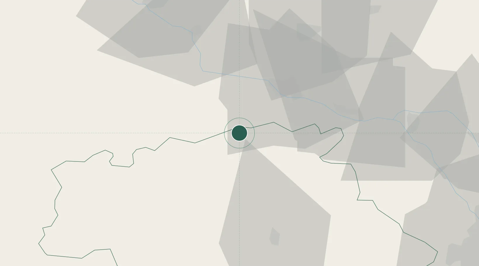
Hub Profile
Place type
Populated place
Region
Occitanie
Population
265
Time zone
Europe/Paris
Elevation
163 m
Location
Nearby Logistics Neighbours
Cities
- 1Francescas5 km
- 2Calignac11 km
- 3Fréchou13 km
- 4Mézin16 km
- 5Espiens17 km
Airports
Trade Zones
- 1ZFU Toulouse92 km
- 2ZFU Hauts de Garonne121 km
- 3Port de Bordeaux126 km
- 4Depósito Franco de Pasajes (Guipúzcoa)208 km
- 5ZFU Béziers234 km
DatabookThe Record of Consolidated Knowledge
France beyond logistics?