UN/LOCODE hub · France
FRRLE
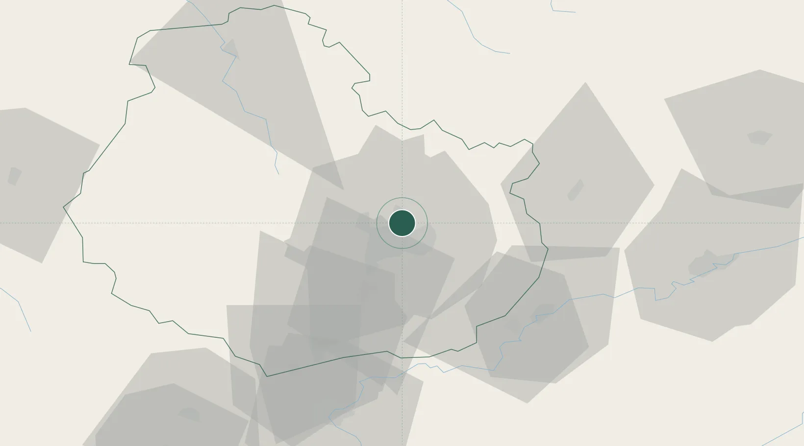
Ruffey-lès-Echirey
47.3667°, 5.0833°
1,125
Population
2
Transport functions
Transport Functions
Rail
Road
Hub Profile
Place type
Populated place
Region
Bourgogne
Population
1,125
Time zone
Europe/Paris
Elevation
242 m
Location
Nearby Logistics Neighbours
Cities
- 1Bretigny4 km
- 2Dijon-Porte Neuve5 km
- 3Brognon7 km
- 4Talant8 km
- 5Neuilly-lès-Dijon9 km
Ports
- 1Port Of Rouen376 km
- 2Bruxelles393 km
- 3Saint-Valery-Sur-Somme403 km
- 4Le Treport406 km
- 5Dieppe410 km
Airports
- 1Dijon Longvic airport11 km
- 2Dole Tavaux Airport45 km
- 3Vesoul-Frotey Airfield90 km
- 4Luxeuil-Saint-Sauveur (BA 116) Air Base106 km
- 5Mâcon-Charnay Airfield121 km
Trade Zones
- 1ZFU Chenôve11 km
- 2ZFU Besancon71 km
- 3ZFU Montbéliard129 km
- 4ZFU La Chapelle Saint-Luc, Les Noës-près-Troyes, Troyes, Sainte-Savine130 km
- 5ZFU Belfort133 km
DatabookThe Record of Consolidated Knowledge
France beyond logistics?