UN/LOCODE hub · France
FRNUY
Neuilly-lès-Dijon
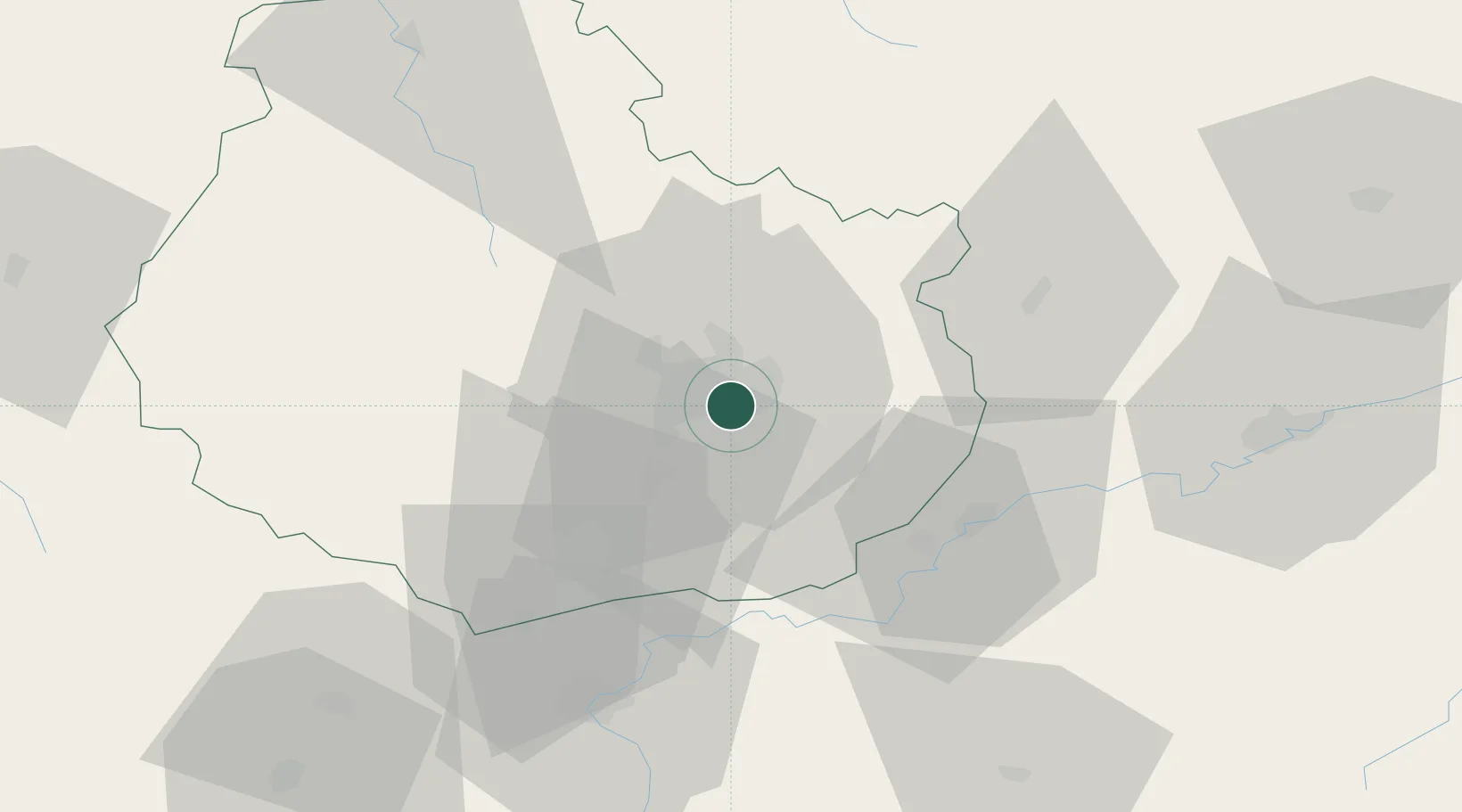
47.2833°, 5.1000°
2,204
Population
1
Transport functions
Transport Functions
Multimodal
Hub Profile
Place type
Populated place
Region
Bourgogne
Population
2,204
Time zone
Europe/Paris
Elevation
217 m
Location
Nearby Logistics Neighbours
Cities
- 1Crimolois2 km
- 2Fauverney5 km
- 3Fénay6 km
- 4Dijon-Porte Neuve7 km
- 5Dijon7 km
Ports
- 1Port Of Rouen383 km
- 2Bruxelles402 km
- 3Saint-Valery-Sur-Somme411 km
- 4Le Treport413 km
- 5Dieppe417 km
Airports
- 1Dijon Longvic airport2 km
- 2Dole Tavaux Airport37 km
- 3Vesoul-Frotey Airfield92 km
- 4Luxeuil-Saint-Sauveur (BA 116) Air Base110 km
- 5Mâcon-Charnay Airfield112 km
Trade Zones
- 1ZFU Chenôve9 km
- 2ZFU Besancon69 km
- 3PESA - Port-Franc et Entrepôts de Lausanne-Chavornay SA128 km
- 4ZFU Montbéliard129 km
- 5ZFU Belfort134 km
DatabookThe Record of Consolidated Knowledge
France beyond logistics?