Transport Functions
Road
Multimodal
Hub Profile
Place type
Populated place
Region
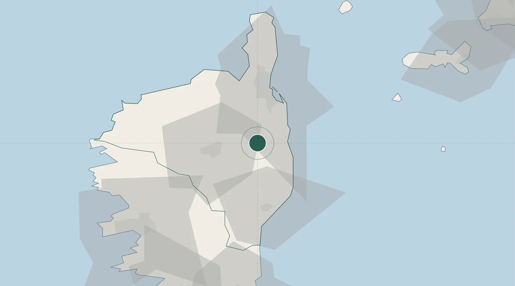
Corsica
Population
11
Time zone
Europe/Paris
Elevation
632 m
Location
Nearby Logistics Neighbours
Cities
- 1San-Nicolao10 km
- 2Santa-Maria-Poggio10 km
- 3Canale-di-Verde12 km
- 4Vescovato14 km
- 5Linguizzetta15 km
Ports
- 1Bastia38 km
- 2L'ile Rousse47 km
- 3Calvi57 km
- 4Port D' Ajaccio72 km
- 5Port De Propriano86 km
Airports
Trade Zones
- 1Sardinia Special Economic Zone Area200 km
- 2ZFU LAriane229 km
- 3ZFU Toulon294 km
- 4ZFU La Seyne-sur-Mer300 km
- 5Abruzzo Special Economic Zone325 km
DatabookThe Record of Consolidated Knowledge
France beyond logistics?