Transport Functions
Rail
Road
Hub Profile
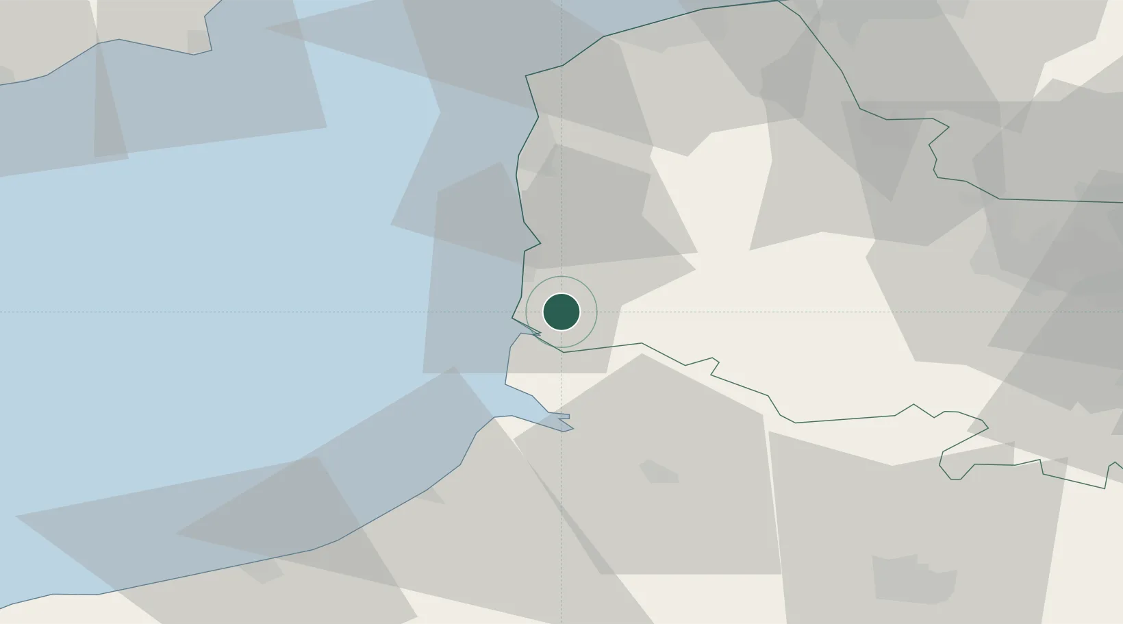
Place type
Populated place
Region
Hauts-de-France
Population
3,860
Time zone
Europe/Paris
Elevation
10 m
Location
Nearby Logistics Neighbours
Cities
- 1Merlimont4 km
- 2Conchil-le-Temple6 km
- 3Stella-Plage9 km
- 4Beutin9 km
- 5Étaples11 km
Ports
- 1Saint-Valery-Sur-Somme26 km
- 2Boulogne-Sur-Mer35 km
- 3Le Treport44 km
- 4Calais63 km
- 5Dieppe67 km
Airports
Trade Zones
DatabookThe Record of Consolidated Knowledge
France beyond logistics?