Transport Functions
Multimodal
Hub Profile
Place type
Populated place
Region
Hauts-de-France
Time zone
Europe/Paris
Elevation
14 m
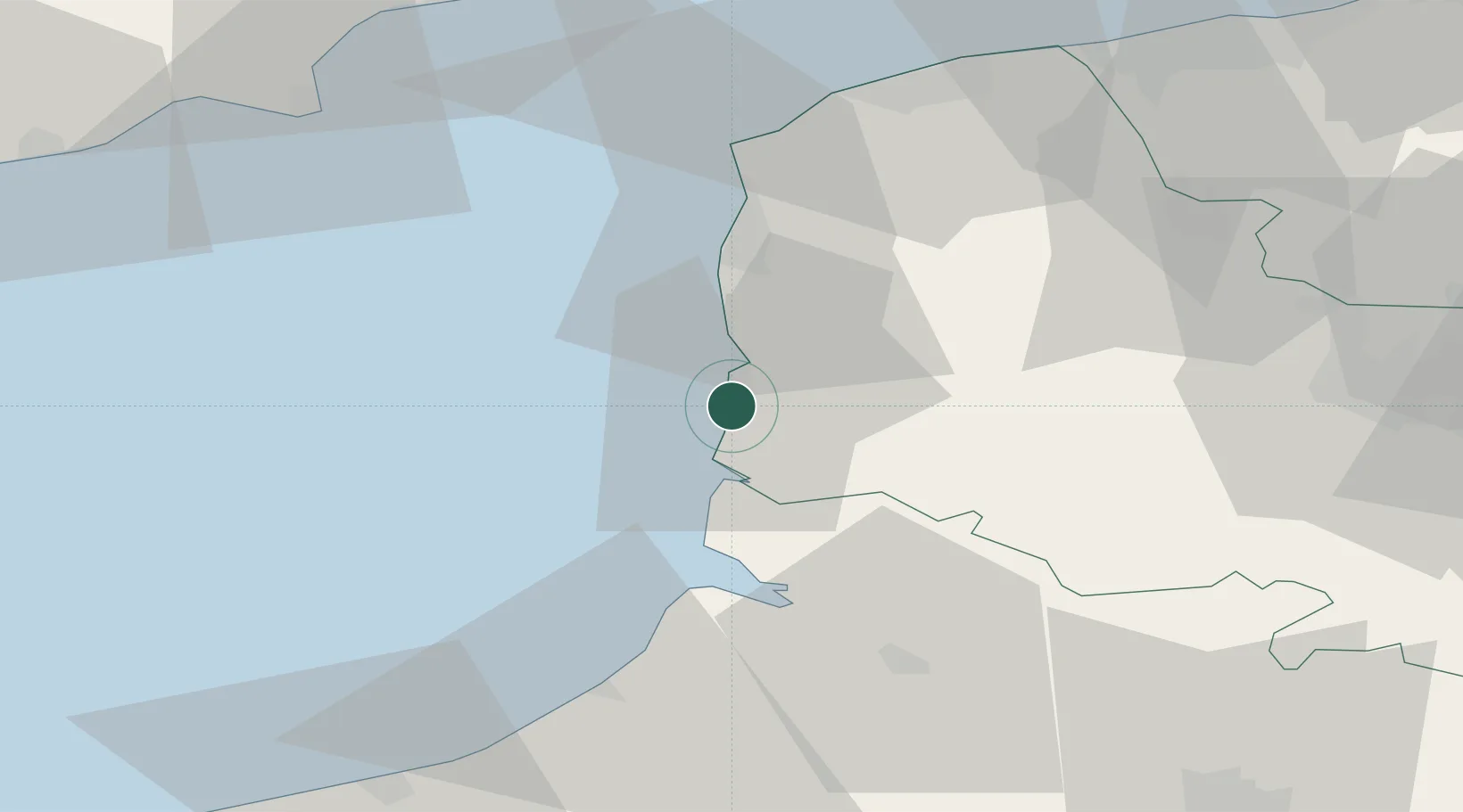
Location
Nearby Logistics Neighbours
Cities
- 1Merlimont4 km
- 2Étaples6 km
- 3Rang-du-Fliers9 km
- 4Beutin9 km
- 5Conchil-le-Temple14 km
Ports
- 1Boulogne-Sur-Mer28 km
- 2Saint-Valery-Sur-Somme33 km
- 3Le Treport49 km
- 4Calais57 km
- 5Gravelines69 km
Airports
Trade Zones
DatabookThe Record of Consolidated Knowledge
France beyond logistics?