UN/LOCODE hub · France
FRRAR

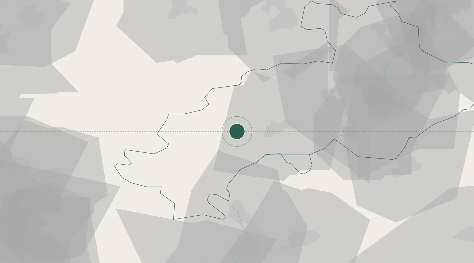
La Roche-des-Arnauds

44.5667°, 5.9500°
1,025
Population
2
Transport functions

Transport Functions

Rail
Road
UN/LOCODE

Hub Profile

Place type
Populated place
GeoNames
Region
Provence-Alpes-Côte d'Azur
GeoNames
Population
1,025
GeoNames
Time zone
Europe/Paris
GeoNames
Elevation
935 m
GeoNames

Location

Location of FRRAR
Natural Earth 10m (public domain) · Provence-Alpes-Côte d'Azur · FRRAR · 44.57, 5.95GoogleOSMYandex

Nearby Logistics Neighbours

Cities
  1. 1Gap11 km
  2. 2Le Saix13 km
  3. 3La Beaume27 km
  4. 4Savines-le-Lac36 km
  5. 5Saint-Roman43 km
Nearest neighbours — logibook spatial index (haversine) over the source coordinates
Ports
  1. 1Cannes142 km
  2. 2Nice144 km
  3. 3Saint-Raphael144 km
  4. 4Antibes145 km
  5. 5Villefranche146 km
Nearest neighbours — logibook spatial index (haversine) over the source coordinates
Airports
  1. 1Valence-Chabeuil Airport87 km
  2. 2Orange-Caritat (BA 115) Air Base98 km
  3. 3Grenoble Alpes Isère Airport101 km
  4. 4Avignon Caumont airport111 km
  5. 5Chambéry Aix les Bains airport119 km
Nearest neighbours — logibook spatial index (haversine) over the source coordinates
Trade Zones
  1. 1ZFU Grenoble72 km
  2. 2ZFU Valence96 km
  3. 3ZFU Avignon114 km
  4. 4ZFU LAriane140 km
  5. 5ZFU Marseille 15e et 16e145 km
Nearest neighbours — logibook spatial index (haversine) over the source coordinates
DatabookThe Record of Consolidated Knowledge
France beyond logistics?
Browse databook

All Sources

LocationsUN/LOCODE
UN/LOCODE — free
LocationsGeoNames
CC BY 4.0
Portsthe NGA World Port Index
Public domain (US gov)
AirportsOurAirports
Public domain
Trade Zonesthe World Bank SEZ database
CC BY 4.0
Trade ZonesOpen Zone Map
CC BY
← France locations