Transport Functions
Road
Multimodal
Hub Profile
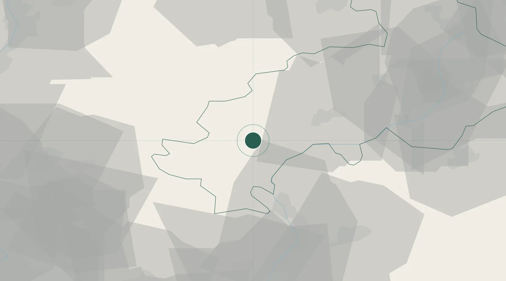
Place type
Populated place
Region
Provence-Alpes-Côte d'Azur
Population
84
Time zone
Europe/Paris
Elevation
825 m
Location
Nearby Logistics Neighbours
Cities
- 1La Roche-des-Arnauds13 km
- 2La Beaume19 km
- 3Gap22 km
- 4Saint-Roman39 km
- 5Château-Arnoux45 km
Ports
- 1Marseille135 km
- 2Port-de-Bouc138 km
- 3Saint-Raphael140 km
- 4Cannes140 km
- 5Fos141 km
Airports
Trade Zones
- 1ZFU Grenoble79 km
- 2ZFU Valence92 km
- 3ZFU Avignon101 km
- 4ZFU Marseille 15e et 16e133 km
- 5ZFU Nîmes140 km
DatabookThe Record of Consolidated Knowledge
France beyond logistics?