Transport Functions
Multimodal
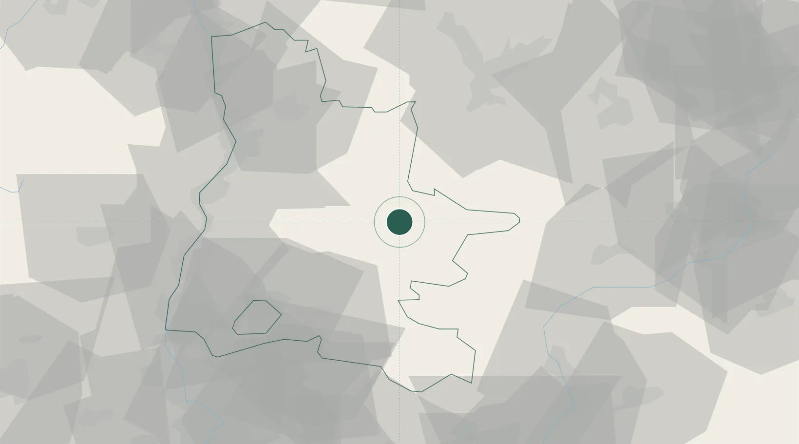
Hub Profile
Place type
Populated place
Region
Rhône-Alpes
Population
149
Time zone
Europe/Paris
Elevation
529 m
Location
Nearby Logistics Neighbours
Ports
- 1Port-de-Bouc147 km
- 2Fos148 km
- 3Marseille152 km
- 4Port Saint Louis Du Rhone153 km
- 5Saint-Raphael177 km
Airports
Trade Zones
- 1ZFU Valence53 km
- 2ZFU Grenoble59 km
- 3ZFU Avignon96 km
- 4ZFU Saint-Etienne122 km
- 5ZFU Vénissieux122 km
DatabookThe Record of Consolidated Knowledge
France beyond logistics?