Transport Functions
Rail
Road
Hub Profile
Place type
Populated place
Region
Provence-Alpes-Côte d'Azur
Time zone
Europe/Paris
Elevation
880 m
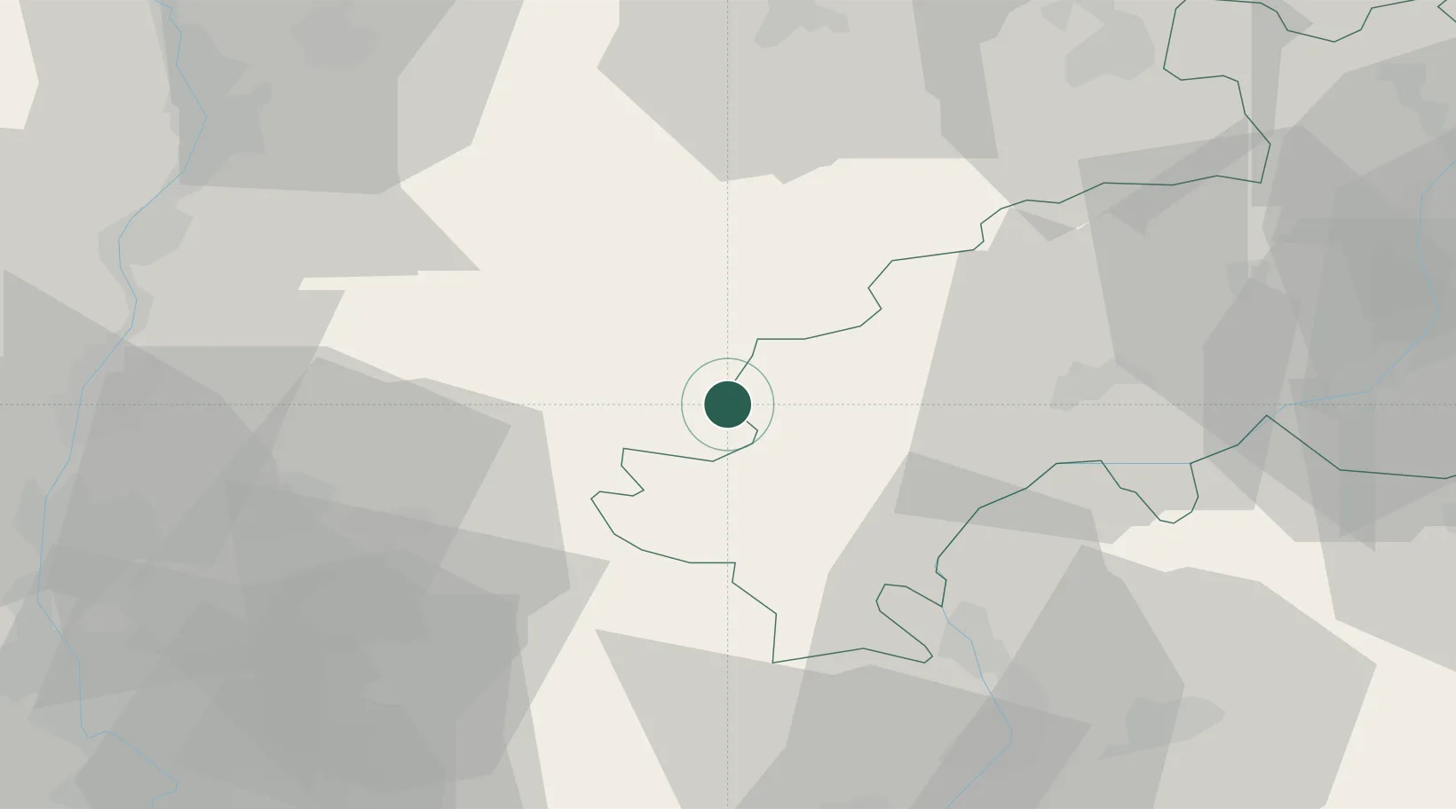
Location
Nearby Logistics Neighbours
Cities
- 1Le Saix19 km
- 2Saint-Roman21 km
- 3La Roche-des-Arnauds27 km
- 4Die30 km
- 5Vercheny34 km
Ports
- 1Port-de-Bouc138 km
- 2Marseille139 km
- 3Fos139 km
- 4Port Saint Louis Du Rhone145 km
- 5Saint-Raphael156 km
Airports
Trade Zones
- 1ZFU Grenoble71 km
- 2ZFU Valence74 km
- 3ZFU Avignon93 km
- 4ZFU Nîmes130 km
- 5ZFU Marseille 15e et 16e137 km
DatabookThe Record of Consolidated Knowledge
France beyond logistics?