Transport Functions
Multimodal
Hub Profile
Place type
Populated place
Region
Occitanie
Population
103
Time zone
Europe/Paris
Elevation
234 m
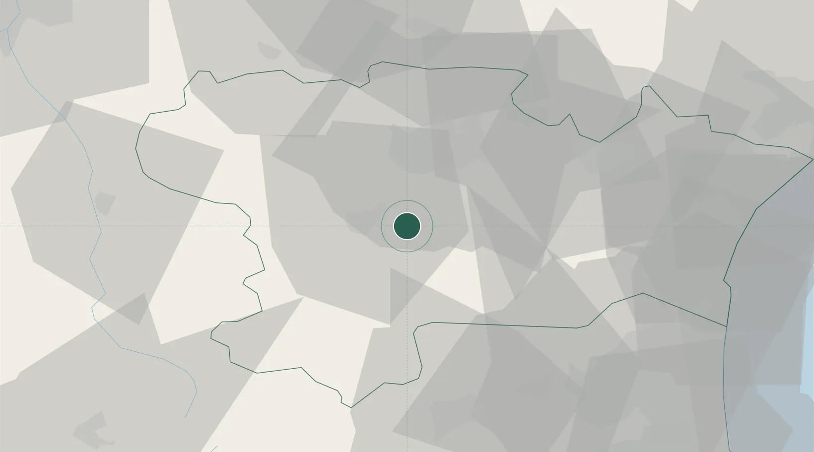
Location
Nearby Logistics Neighbours
Cities
- 1Saint-Hilaire4 km
- 2Rouffiac-d'Aude6 km
- 3Cépie7 km
- 4Leuc9 km
- 5Magrie10 km
Ports
- 1Port-La-Nouvelle61 km
- 2Port-Vendres90 km
- 3Rosas114 km
- 4Sete118 km
- 5Palamos152 km
Airports
Trade Zones
- 1ZFU Perpignan62 km
- 2ZFU Béziers79 km
- 3ZFU Toulouse93 km
- 4ZFU Montpellier137 km
- 5ZFU Nîmes184 km
DatabookThe Record of Consolidated Knowledge
France beyond logistics?