Transport Functions
Multimodal
Hub Profile
Place type
Populated place
Region
Brittany
Population
1,120
Time zone
Europe/Paris
Elevation
93 m
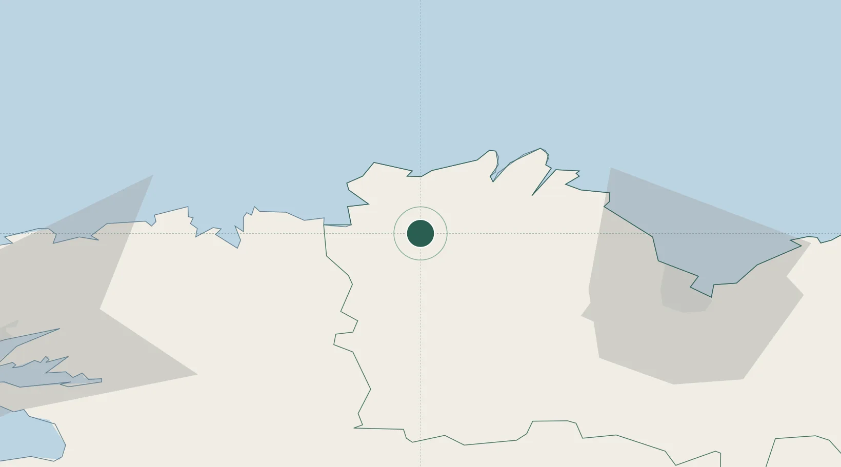
Location
Nearby Logistics Neighbours
Cities
- 1Cavan4 km
- 2Begard8 km
- 3Lannion8 km
- 4Trédrez-Locquémeau13 km
- 5Trébeurden17 km
Ports
- 1Treguier18 km
- 2Pontrieux19 km
- 3Lezardrieux26 km
- 4Paimpol29 km
- 5Morlaix33 km
Airports
- 1Lannion Airport11 km
- 2Morlaix-Ploujean Airport31 km
- 3Saint-Brieuc-Armor Airport43 km
- 4Landivisiau Air Base57 km
- 5Brest Bretagne airport79 km
Trade Zones
- 1ZFU Cherbourg-Octeville166 km
- 2ZFU Saint-Nazaire176 km
- 3Oceansgate Plymouth198 km
- 4Heart of the South West Enterprise Zone199 km
- 5ZFU Nantes et Saint-Herblain204 km
DatabookThe Record of Consolidated Knowledge
France beyond logistics?