Transport Functions
Multimodal
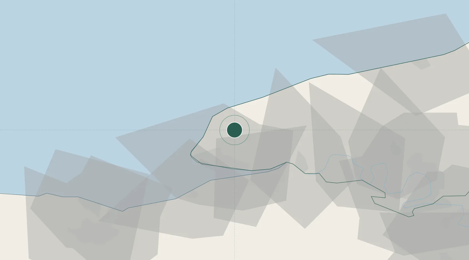
Hub Profile
Region
76
Location
Nearby Logistics Neighbours
Cities
- 1Rolleville7 km
- 2Étainhus8 km
- 3Etretat9 km
- 4Yport12 km
- 5Saint-Léonard14 km
Ports
- 1Fecamp17 km
- 2Port Of Le Havre20 km
- 3Honfleur24 km
- 4Deauville33 km
- 5Ouistreham54 km
Airports
Trade Zones
- 1ZFU Le Havre18 km
- 2ZFU Rouen Bihorel63 km
- 3ZFU Hérouville-Saint-Clair65 km
- 4ZFU La Guérinière, La Grâce de Dieu70 km
- 5ZFU Évreux93 km
DatabookThe Record of Consolidated Knowledge
France beyond logistics?