Transport Functions
Rail
Road
Multimodal
Hub Profile
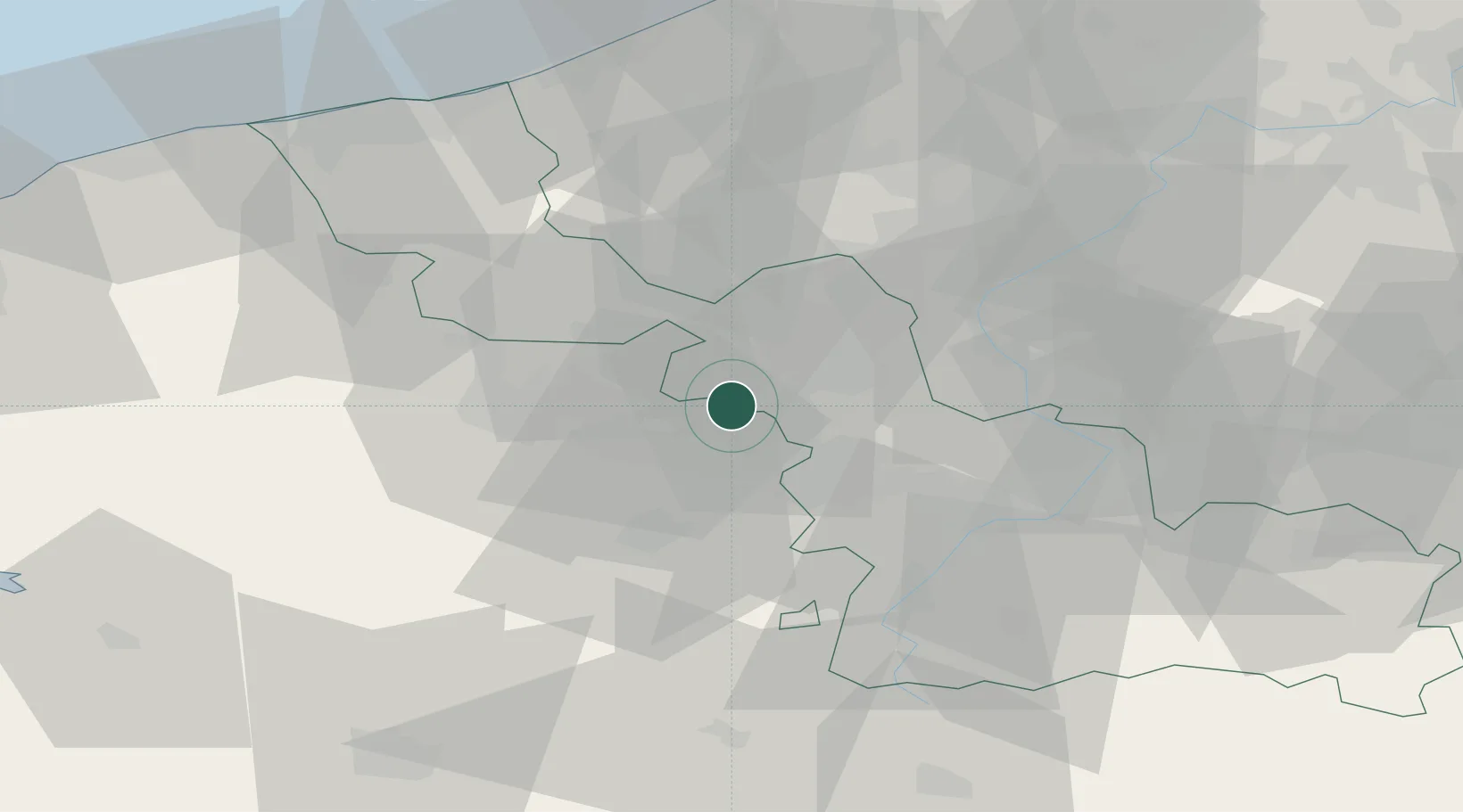
Place type
Populated place
Region
Hauts-de-France
Population
3,745
Time zone
Europe/Paris
Elevation
24 m
Location
Nearby Logistics Neighbours
Cities
- 1Bauvin1 km
- 2Don2 km
- 3Allennes-les-Marais3 km
- 4Sainghin-en-Weppes4 km
- 5Camphin-en-Carembault5 km
Ports
- 1Nieuwpoort70 km
- 2Dunkerque Port Est73 km
- 3Gravelines78 km
- 4Oostende80 km
- 5Bruges82 km
Airports
DatabookThe Record of Consolidated Knowledge
France beyond logistics?