UN/LOCODE hub · France
FRCA7

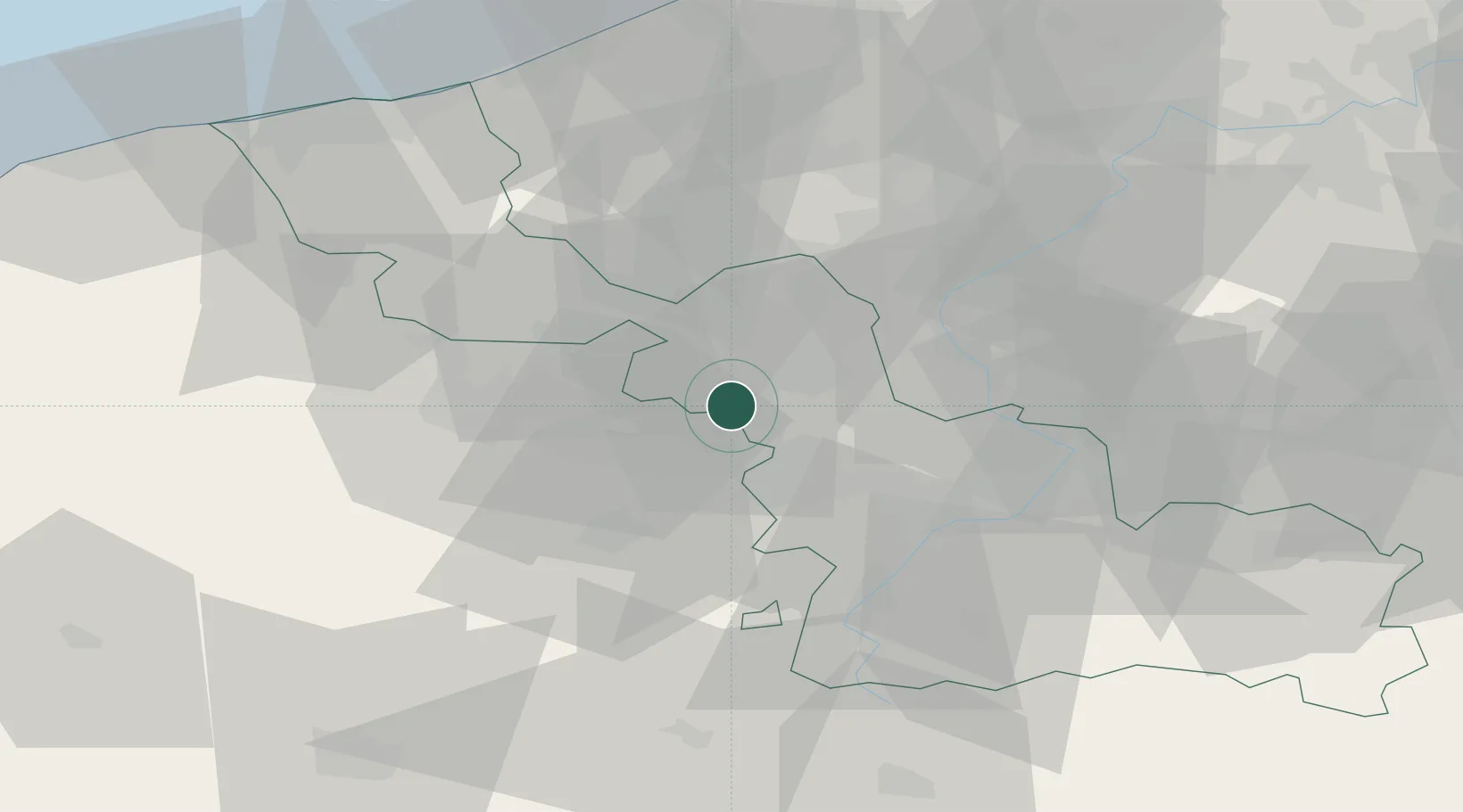
Camphin-en-Carembault

50.5167°, 2.9833°
1,574
Population
2
Transport functions

Transport Functions

Road
Multimodal
UN/LOCODE

Hub Profile

Place type
Populated place
GeoNames
Region
Hauts-de-France
GeoNames
Population
1,574
GeoNames
Time zone
Europe/Paris
GeoNames
Elevation
31 m
GeoNames

Location

Location of FRCA7
Natural Earth 10m (public domain) · Hauts-de-France · FRCA7 · 50.52, 2.98GoogleOSMYandex

Nearby Logistics Neighbours

Cities
  1. 1Allennes-les-Marais3 km
  2. 2Provin5 km
  3. 3Don5 km
  4. 4Bauvin6 km
  5. 5Thumeries6 km
Nearest neighbours — logibook spatial index (haversine) over the source coordinates
Ports
  1. 1Nieuwpoort71 km
  2. 2Dunkerque Port Est76 km
  3. 3Oostende80 km
  4. 4Ghent81 km
  5. 5Gravelines81 km
Nearest neighbours — logibook spatial index (haversine) over the source coordinates
Airports
  1. 1Lille Airport10 km
  2. 2Merville-Calonne Airport27 km
  3. 3Flanders International Airport Kortrijk-Wevelgem37 km
  4. 4Valenciennes-Denain Airfield40 km
  5. 5Chièvres Air Base60 km
Nearest neighbours — logibook spatial index (haversine) over the source coordinates
DatabookThe Record of Consolidated Knowledge
France beyond logistics?
Browse databook

All Sources

LocationsUN/LOCODE
UN/LOCODE — free
LocationsGeoNames
CC BY 4.0
Portsthe NGA World Port Index
Public domain (US gov)
AirportsOurAirports
Public domain
Trade Zonesthe World Bank SEZ database
CC BY 4.0
Trade ZonesOpen Zone Map
CC BY
← France locations