Transport Functions
Rail
Road
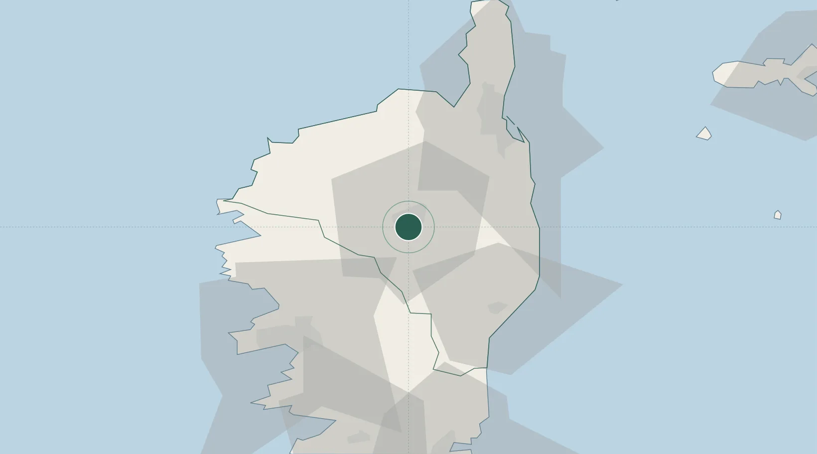
Hub Profile
Place type
District seat
Region
Corsica
Population
7,217
Time zone
Europe/Paris
Elevation
433 m
Location
Nearby Logistics Neighbours
Cities
- 1Ponte Leccia19 km
- 2Rapaggio21 km
- 3Antisanti22 km
- 4Tallone23 km
- 5Canale-di-Verde26 km
Ports
- 1L'ile Rousse41 km
- 2Calvi44 km
- 3Bastia51 km
- 4Port D' Ajaccio54 km
- 5Port De Propriano72 km
Airports
Trade Zones
- 1Sardinia Special Economic Zone Area191 km
- 2ZFU LAriane221 km
- 3ZFU Toulon278 km
- 4ZFU La Seyne-sur-Mer284 km
- 5ZFU Marseille 15e et 16e329 km
DatabookThe Record of Consolidated Knowledge
France beyond logistics?