Transport Functions
Road
Multimodal
Hub Profile
Place type
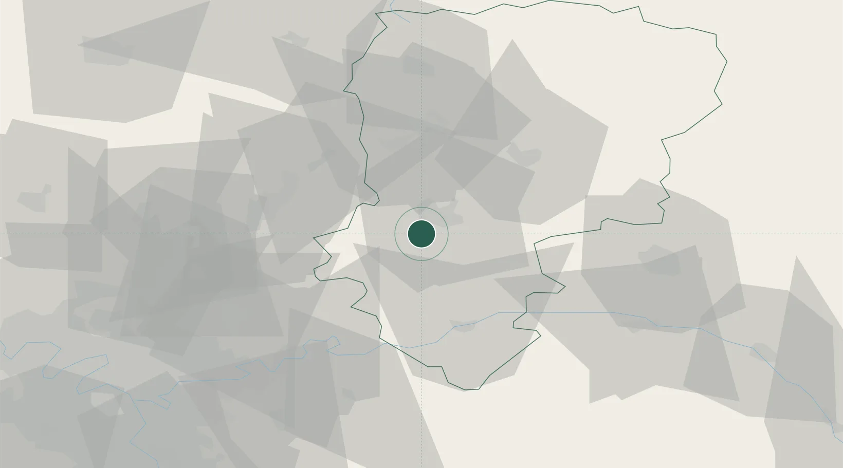
Populated place
Region
Hauts-de-France
Population
89
Time zone
Europe/Paris
Elevation
82 m
Location
Nearby Logistics Neighbours
Cities
- 1Soissons6 km
- 2Cuffies8 km
- 3Pernant8 km
- 4Ciry-Salsogne11 km
- 5Ressons-le-Long12 km
Ports
- 1Saint-Valery-Sur-Somme154 km
- 2Le Treport161 km
- 3Port Of Rouen162 km
- 4Dieppe173 km
- 5Bruxelles186 km
Airports
Trade Zones
- 1ZFU Presles, Chevreux5 km
- 2ZFU Reims51 km
- 3ZFU Meaux52 km
- 4ZFU Le Vermandois Vermand, Fayet, Artois, Champagne58 km
- 5ZFU Creil et Montataire65 km
DatabookThe Record of Consolidated Knowledge
France beyond logistics?