Transport Functions
Rail
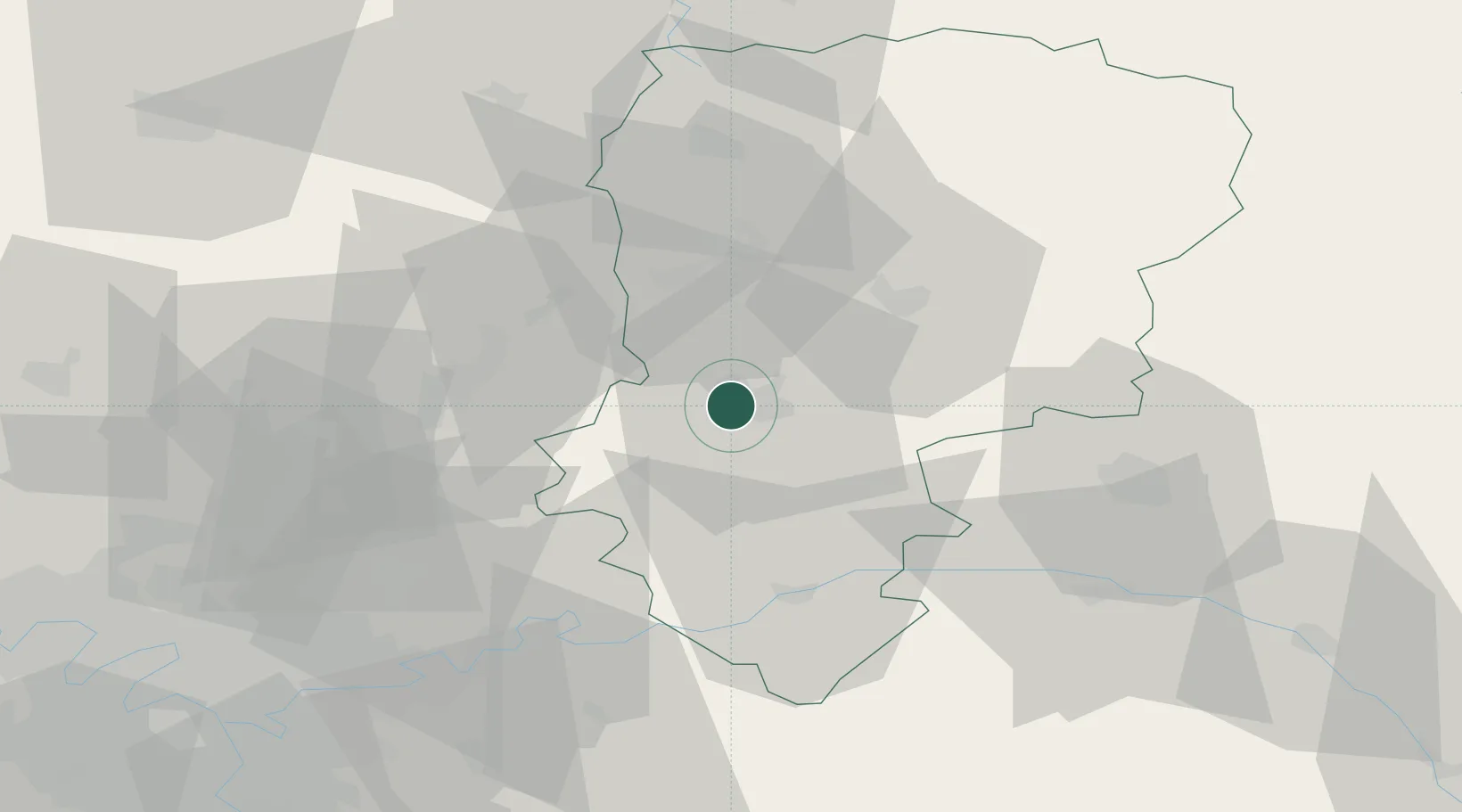
Hub Profile
Place type
District seat
Region
Hauts-de-France
Population
31,100
Time zone
Europe/Paris
Elevation
50 m
Location
Nearby Logistics Neighbours
Cities
- 1Cuffies2 km
- 2Ploisy6 km
- 3Pernant7 km
- 4Ciry-Salsogne10 km
- 5Épagny10 km
Ports
- 1Saint-Valery-Sur-Somme151 km
- 2Le Treport159 km
- 3Port Of Rouen163 km
- 4Dieppe172 km
- 5Bruxelles181 km
Airports
Trade Zones
- 1ZFU Presles, Chevreux1 km
- 2ZFU Reims51 km
- 3ZFU Le Vermandois Vermand, Fayet, Artois, Champagne52 km
- 4ZFU Meaux57 km
- 5ZFU Creil et Montataire67 km
DatabookThe Record of Consolidated Knowledge
France beyond logistics?