Transport Functions
Multimodal
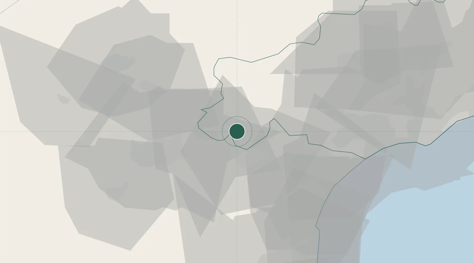
Hub Profile
Place type
Populated place
Region
Occitanie
Population
455
Time zone
Europe/Paris
Elevation
90 m
Location
Nearby Logistics Neighbours
Ports
- 1Port-La-Nouvelle45 km
- 2Sete80 km
- 3Port-Vendres97 km
- 4Rosas125 km
- 5Port Saint Louis Du Rhone170 km
Airports
Trade Zones
- 1ZFU Béziers40 km
- 2ZFU Perpignan72 km
- 3ZFU Montpellier96 km
- 4ZFU Toulouse107 km
- 5ZFU Nîmes142 km
DatabookThe Record of Consolidated Knowledge
France beyond logistics?