UN/LOCODE hub · France
FRDM9

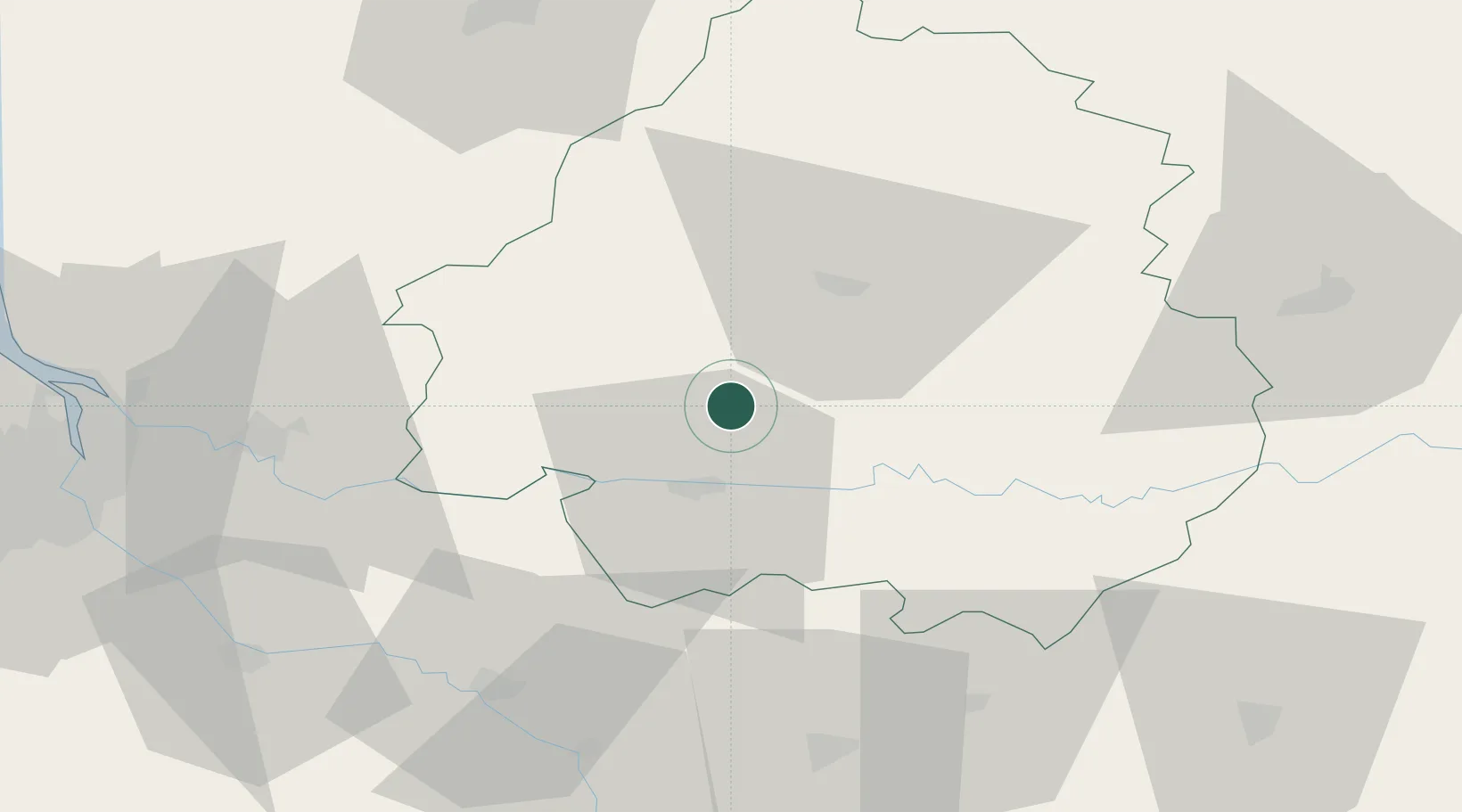
Montagnac-la-Crempse

44.9833°, 0.5500°
402
Population
1
Transport functions

Transport Functions

Multimodal
UN/LOCODE

Hub Profile

Place type
Populated place
GeoNames
Region
Nouvelle-Aquitaine
GeoNames
Population
402
GeoNames
Time zone
Europe/Paris
GeoNames
Elevation
138 m
GeoNames

Location

Location of FRDM9
Natural Earth 10m (public domain) · Nouvelle-Aquitaine · FRDM9 · 44.98, 0.55GoogleOSMYandex

Nearby Logistics Neighbours

Cities
  1. 1Villamblard4 km
  2. 2Minzac4 km
  3. 3Montpeyroux12 km
  4. 4Lunas14 km
  5. 5Neuvic15 km
Nearest neighbours — logibook spatial index (haversine) over the source coordinates
Ports
  1. 1Ambes85 km
  2. 2Bordeaux89 km
  3. 3Blaye97 km
  4. 4Pauillac105 km
  5. 5Le Verdon140 km
Nearest neighbours — logibook spatial index (haversine) over the source coordinates
Airports
  1. 1Bergerac Dordogne-Périgord airport18 km
  2. 2Périgueux-Bassillac Airport32 km
  3. 3Brive Souillac airport74 km
  4. 4Angoulême Brie-Champniers airport87 km
  5. 5Agen La Garenne airport90 km
Nearest neighbours — logibook spatial index (haversine) over the source coordinates
Trade Zones
  1. 1Port de Bordeaux86 km
  2. 2ZFU Hauts de Garonne90 km
  3. 3ZFU Toulouse169 km
  4. 4ZFU La Rochelle190 km
  5. 5ZFU Clermont-Ferrand217 km
Nearest neighbours — logibook spatial index (haversine) over the source coordinates
DatabookThe Record of Consolidated Knowledge
France beyond logistics?
Browse databook

All Sources

LocationsUN/LOCODE
UN/LOCODE — free
LocationsGeoNames
CC BY 4.0
Portsthe NGA World Port Index
Public domain (US gov)
AirportsOurAirports
Public domain
Trade Zonesthe World Bank SEZ database
CC BY 4.0
Trade ZonesOpen Zone Map
CC BY
← France locations