UN/LOCODE hub · France
FRPGX

Périgueux

45.1833°, 0.7167°
34,770
Population
3
Transport functions

Transport Functions

Rail
Road
Airport
UN/LOCODE

Hub Profile

Place type
Provincial seat
GeoNames
Region
Nouvelle-Aquitaine
GeoNames
Population
34,770
GeoNames
Time zone
Europe/Paris
GeoNames
Elevation
101 m
GeoNames

Location

Location of FRPGX
Natural Earth 10m (public domain) · Nouvelle-Aquitaine · FRPGX · 45.18, 0.72GoogleOSMYandex

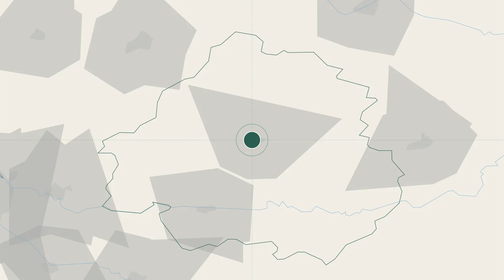
Nearby Logistics Neighbours

Cities
  1. 1Chancelade4 km
  2. 2Boulazac4 km
  3. 3Trélissac5 km
  4. 4Montmoreau9 km
  5. 5Saint-Astier15 km
Nearest neighbours — logibook spatial index (haversine) over the source coordinates
Ports
  1. 1Ambes100 km
  2. 2Bordeaux107 km
  3. 3Blaye109 km
  4. 4Pauillac115 km
  5. 5Le Verdon144 km
Nearest neighbours — logibook spatial index (haversine) over the source coordinates
Airports
  1. 1Périgueux-Bassillac Airport8 km
  2. 2Bergerac Dordogne-Périgord airport43 km
  3. 3Brive Souillac airport62 km
  4. 4Angoulême Brie-Champniers airport72 km
  5. 5Limoges Airport84 km
Nearest neighbours — logibook spatial index (haversine) over the source coordinates
Trade Zones
  1. 1Port de Bordeaux103 km
  2. 2ZFU Hauts de Garonne109 km
  3. 3ZFU Toulouse185 km
  4. 4ZFU La Rochelle185 km
  5. 5ZFU Clermont-Ferrand196 km
Nearest neighbours — logibook spatial index (haversine) over the source coordinates
DatabookThe Record of Consolidated Knowledge
France beyond logistics?
Browse databook

All Sources

LocationsUN/LOCODE
UN/LOCODE — free
LocationsGeoNames
CC BY 4.0
Portsthe NGA World Port Index
Public domain (US gov)
AirportsOurAirports
Public domain
Trade Zonesthe World Bank SEZ database
CC BY 4.0
Trade ZonesOpen Zone Map
CC BY
← France locations