Transport Functions
Multimodal
Hub Profile
Place type
Populated place
Region
Provence-Alpes-Côte d'Azur
Population
2,987
Time zone
Europe/Paris
Elevation
180 m
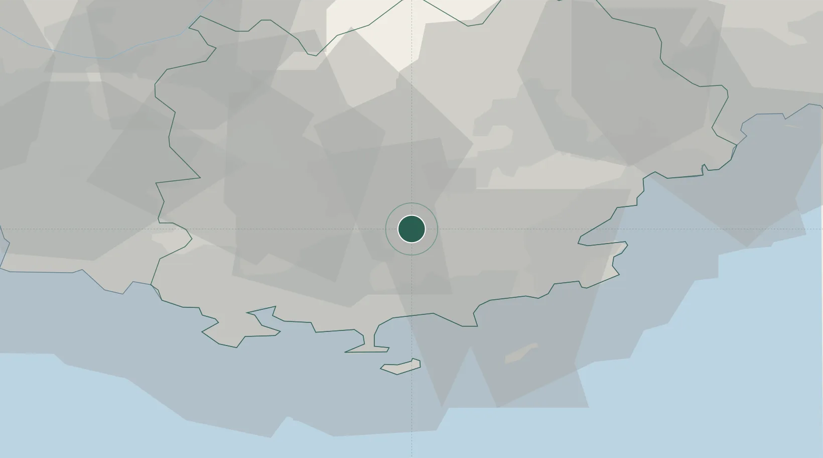
Location
Nearby Logistics Neighbours
Cities
- 1Carnoules4 km
- 2Gonfaron4 km
- 3Puget-Ville8 km
- 4Collobrières9 km
- 5Les Mayons11 km
Ports
- 1Saint-Tropez33 km
- 2Toulon34 km
- 3Saint-Raphael45 km
- 4Cannes69 km
- 5Marseille70 km
Airports
- 1Le Luc-Le Cannet Airfield16 km
- 2La Môle Airport23 km
- 3Toulon-Hyères Airport24 km
- 4Le Castellet Airport37 km
- 5Cannes Mandelieu Airport65 km
Trade Zones
- 1ZFU Toulon31 km
- 2ZFU La Seyne-sur-Mer40 km
- 3ZFU Marseille 15e et 16e70 km
- 4ZFU Saint-Barthélémy, Le Canet, Delorme-Paternelle80 km
- 5ZFU LAriane98 km
DatabookThe Record of Consolidated Knowledge
France beyond logistics?