Transport Functions
Multimodal
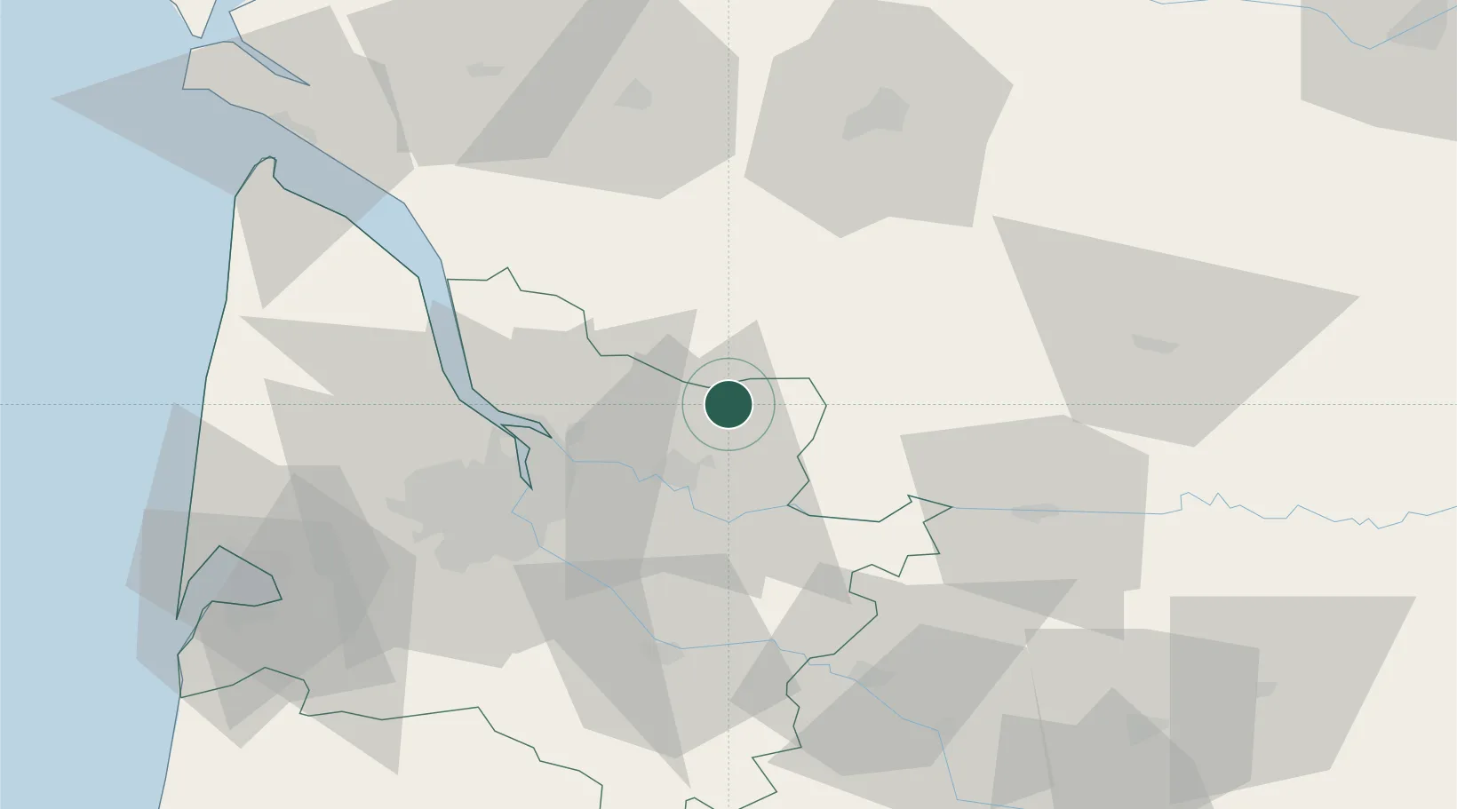
Hub Profile
Place type
Populated place
Region
Nouvelle-Aquitaine
Population
1,418
Time zone
Europe/Paris
Elevation
76 m
Location
Nearby Logistics Neighbours
Cities
- 1Bayas5 km
- 2Saint-Martin-de-Laye8 km
- 3Les Églisottes-et-Chalaures9 km
- 4Maransin11 km
- 5Petit-Palais-et-Cornemps11 km
Airports
Trade Zones
- 1Port de Bordeaux36 km
- 2ZFU Hauts de Garonne44 km
- 3ZFU La Rochelle148 km
- 4ZFU Toulouse205 km
- 5Depósito Franco de Pasajes (Guipúzcoa)241 km
DatabookThe Record of Consolidated Knowledge
France beyond logistics?