Transport Functions
Port
Multimodal
Hub Profile
Place type
Populated place
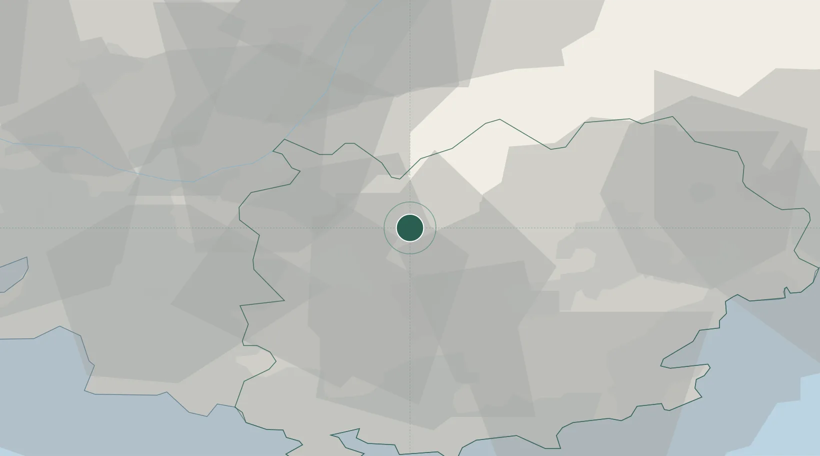
Region
Provence-Alpes-Côte d'Azur
Population
624
Time zone
Europe/Paris
Elevation
383 m
Location
Nearby Logistics Neighbours
Cities
- 1Barjols4 km
- 2Châteauvert8 km
- 3Brue-Auriac9 km
- 4Cotignac9 km
- 5Correns10 km
Ports
- 1Toulon53 km
- 2Saint-Tropez58 km
- 3Saint-Raphael60 km
- 4Marseille62 km
- 5Cannes78 km
Airports
- 1Le Luc-Le Cannet Airfield34 km
- 2Le Castellet Airport41 km
- 3Toulon-Hyères Airport53 km
- 4La Môle Airport53 km
- 5Marseille Provence Airport69 km
Trade Zones
- 1ZFU Toulon50 km
- 2ZFU La Seyne-sur-Mer56 km
- 3ZFU Marseille 15e et 16e61 km
- 4ZFU Saint-Barthélémy, Le Canet, Delorme-Paternelle73 km
- 5ZFU LAriane101 km
DatabookThe Record of Consolidated Knowledge
France beyond logistics?