Transport Functions
Multimodal
Hub Profile
Place type
Populated place
Region
Provence-Alpes-Côte d'Azur
Population
2,619
Time zone
Europe/Paris
Elevation
281 m
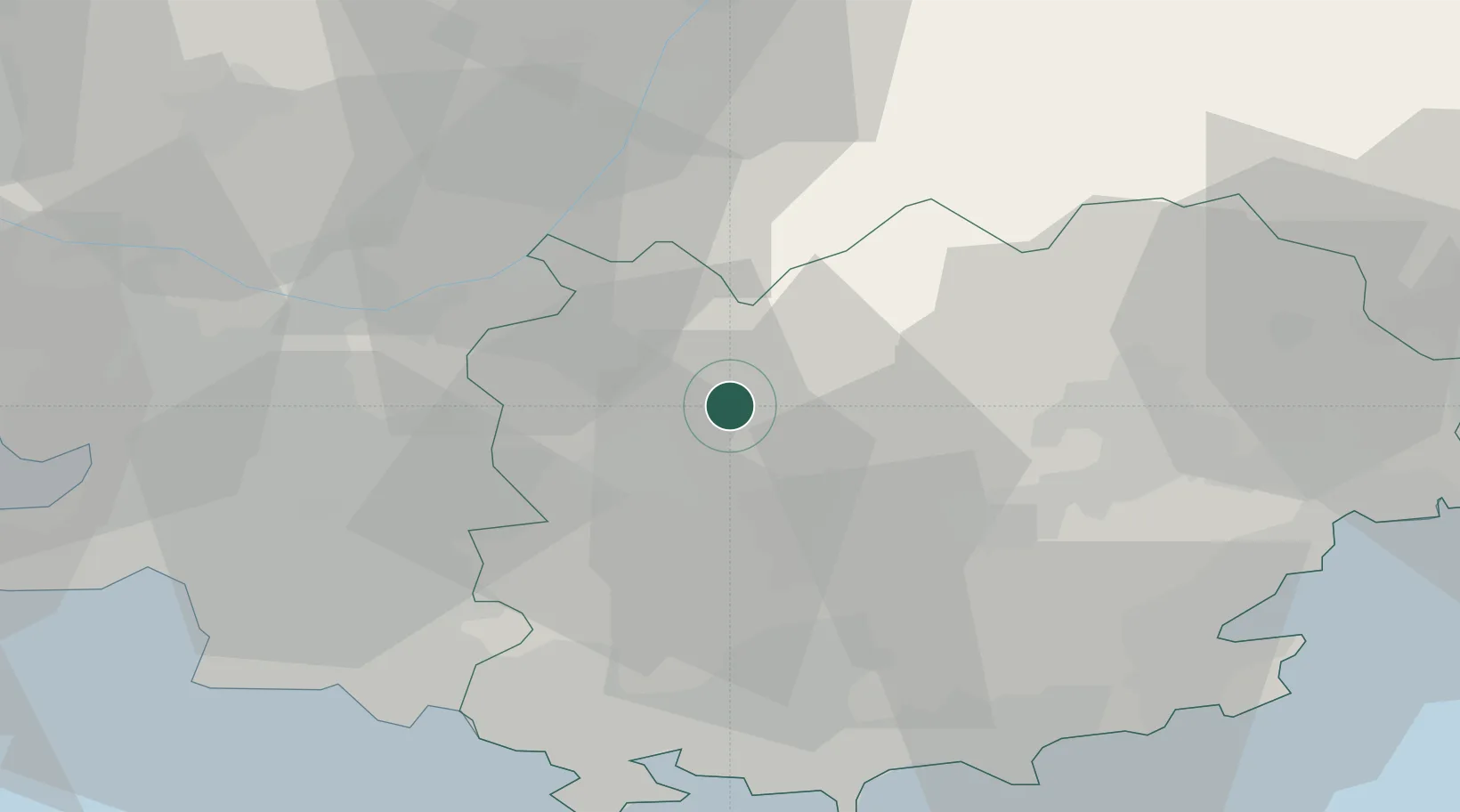
Location
Nearby Logistics Neighbours
Cities
- 1Pontevès4 km
- 2Brue-Auriac4 km
- 3Châteauvert6 km
- 4Correns10 km
- 5Cotignac12 km
Ports
- 1Toulon51 km
- 2Marseille57 km
- 3Saint-Tropez60 km
- 4Saint-Raphael64 km
- 5Cannes82 km
Airports
- 1Le Luc-Le Cannet Airfield36 km
- 2Le Castellet Airport37 km
- 3Toulon-Hyères Airport52 km
- 4La Môle Airport55 km
- 5Marseille Provence Airport65 km
Trade Zones
- 1ZFU Toulon48 km
- 2ZFU La Seyne-sur-Mer53 km
- 3ZFU Marseille 15e et 16e57 km
- 4ZFU Saint-Barthélémy, Le Canet, Delorme-Paternelle68 km
- 5ZFU LAriane106 km
DatabookThe Record of Consolidated Knowledge
France beyond logistics?