Transport Functions
Multimodal
Hub Profile
Place type
Populated place
Region
Provence-Alpes-Côte d'Azur
Population
2,186
Time zone
Europe/Paris
Elevation
250 m
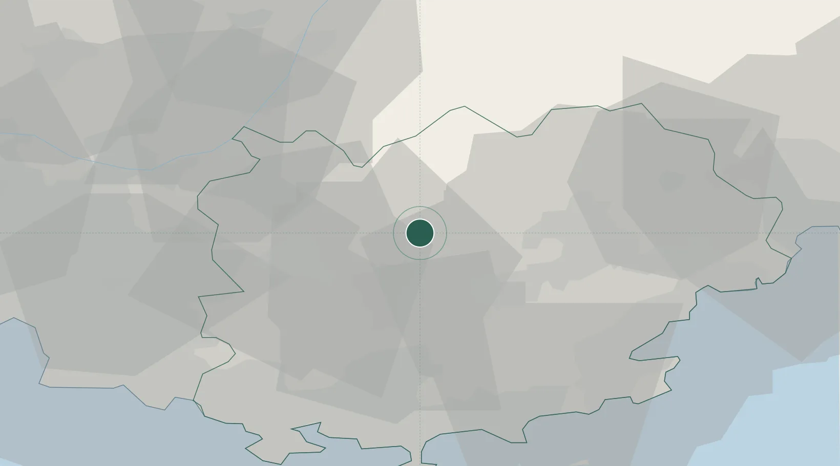
Location
Nearby Logistics Neighbours
Cities
- 1Correns8 km
- 2Carcès8 km
- 3Pontevès9 km
- 4Châteauvert10 km
- 5Villecroze11 km
Ports
- 1Saint-Tropez49 km
- 2Saint-Raphael51 km
- 3Toulon52 km
- 4Marseille68 km
- 5Cannes70 km
Airports
- 1Le Luc-Le Cannet Airfield25 km
- 2Le Castellet Airport43 km
- 3La Môle Airport45 km
- 4Toulon-Hyères Airport49 km
- 5Cannes Mandelieu Airport65 km
Trade Zones
- 1ZFU Toulon49 km
- 2ZFU La Seyne-sur-Mer56 km
- 3ZFU Marseille 15e et 16e67 km
- 4ZFU Saint-Barthélémy, Le Canet, Delorme-Paternelle79 km
- 5ZFU LAriane94 km
DatabookThe Record of Consolidated Knowledge
France beyond logistics?