Transport Functions
Multimodal
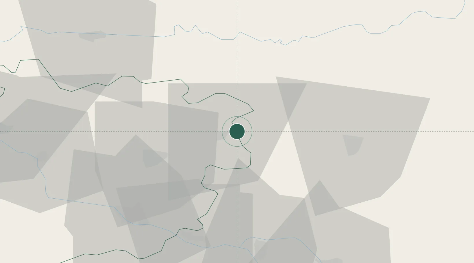
Hub Profile
Place type
Populated place
Region
Occitanie
Population
726
Time zone
Europe/Paris
Elevation
107 m
Location
Nearby Logistics Neighbours
Cities
- 1Duravel4 km
- 2Lacapelle-Cabanac5 km
- 3Vire-sur-Lot6 km
- 4Monsempron-Libos7 km
- 5Floressas11 km
Airports
Trade Zones
- 1ZFU Toulouse105 km
- 2Port de Bordeaux131 km
- 3ZFU Hauts de Garonne131 km
- 4ZFU Clermont-Ferrand216 km
- 5ZFU Béziers219 km
DatabookThe Record of Consolidated Knowledge
France beyond logistics?