UN/LOCODE hub · France
FRXFO
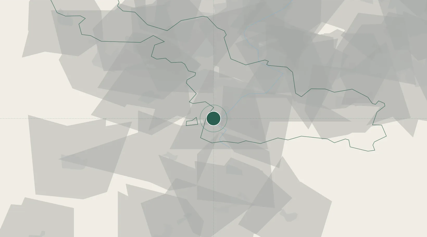
Fontaine-Notre-Dame
50.1667°, 3.1667°
1,693
Population
1
Transport functions
Transport Functions
Multimodal
Hub Profile
Place type
Populated place
Region
Hauts-de-France
Population
1,693
Time zone
Europe/Paris
Elevation
71 m
Location
Nearby Logistics Neighbours
Cities
- 1Rumilly-en-Cambrésis5 km
- 2Niergnies6 km
- 3Ramillies7 km
- 4Marquion8 km
- 5Thun-Saint-Martin9 km
Ports
- 1Ghent108 km
- 2Saint-Valery-Sur-Somme110 km
- 3Nieuwpoort111 km
- 4Bruxelles114 km
- 5Dunkerque Port Est116 km
Airports
- 1Valenciennes-Denain Airfield28 km
- 2Péronne Saint-Quentin Airfield35 km
- 3Lille Airport45 km
- 4Merville-Calonne Airport63 km
- 5Amiens Glisy Airfield65 km
Trade Zones
DatabookThe Record of Consolidated Knowledge
France beyond logistics?