Transport Functions
Road
Multimodal
Hub Profile
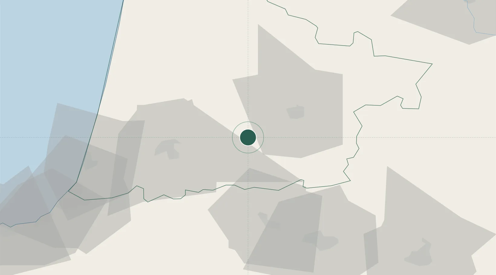
Place type
Populated place
Region
Nouvelle-Aquitaine
Population
1,157
Time zone
Europe/Paris
Elevation
53 m
Location
Nearby Logistics Neighbours
Cities
- 1Caupenne-d'Armagnac3 km
- 2Montaut7 km
- 3Haut-Mauco13 km
- 4Cassen14 km
- 5Gaujacq15 km
Ports
- 1Bayonne69 km
- 2Puerto De Pasajes111 km
- 3Bordeaux121 km
- 4Ambes138 km
- 5Blaye150 km
Airports
Trade Zones
- 1Depósito Franco de Pasajes (Guipúzcoa)111 km
- 2ZFU Hauts de Garonne117 km
- 3Port de Bordeaux126 km
- 4ZFU Toulouse173 km
- 5Depósito Franco de Bilbao195 km
DatabookThe Record of Consolidated Knowledge
France beyond logistics?